TechnicalGIS Environmental News Desk
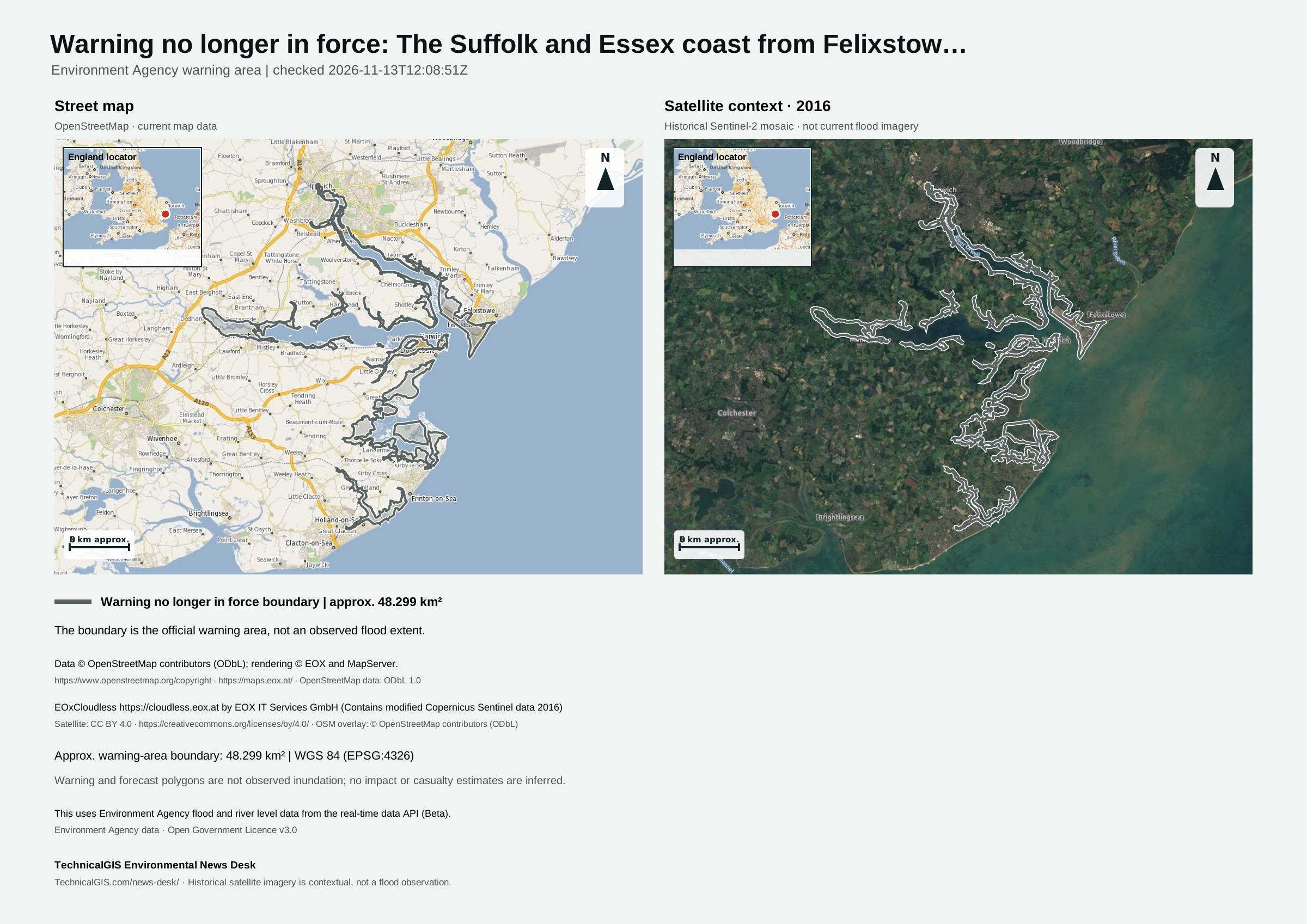
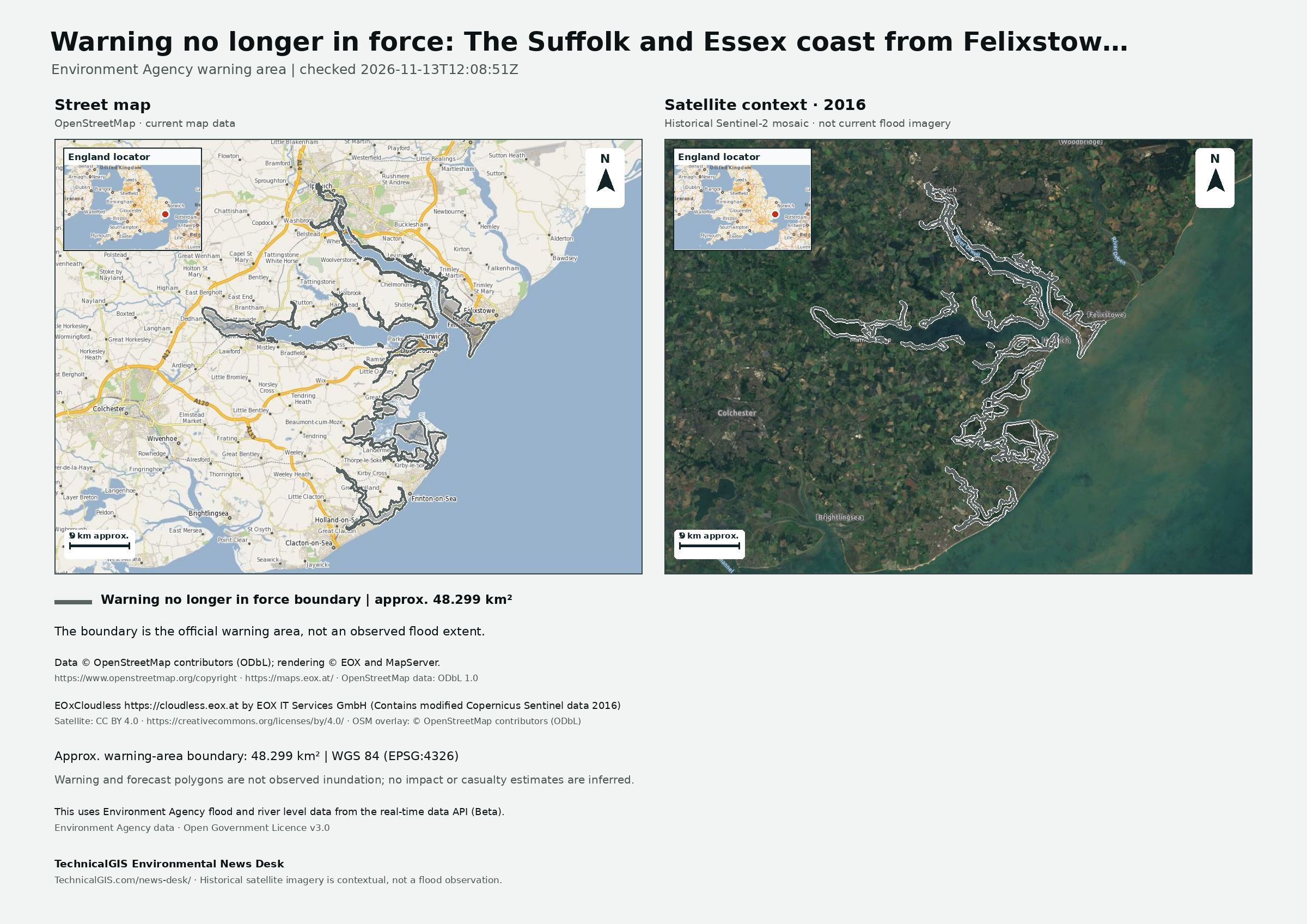
The Environment Agency reported that the flood warning for the Suffolk and Essex coast from Felixstowe to Clacton including Orwell and Stour estuaries was no longer in force in its 13 November 2026 update.
Revision 3 · Published 2026-11-13T12:15:50Z · Status: no longer in force
Map meaning: The area is an approximation of the official warning-area boundary, not a measurement of flooded land, people affected or damage.
There is no longer a threat of flooding.
Coastal conditions are expected to improve and no flooding is expected.
We will continue to monitor the situation and will issue further alerts or warnings if necessary.
Continue to take care on waterside roads and footpaths and don't put yourself in unnecessary danger.
This uses Environment Agency flood and river level data from the real-time data API (Beta). Data documentation · Open Government Licence v3.0
This first monitoring area follows the Environment Agency feed in England. Wales, Scotland and Northern Ireland are not covered by this feed.
Revision 1 (2026-11-12T22:10:37Z) · Revision 3 (2026-11-13T12:15:50Z)