TechnicalGIS Environmental News Desk
The Environment Agency reported a flood alert for the tidal Deben estuary in its 12 November 2026 update.
Revision 1 · Published 2026-11-12T22:10:37Z · Status: current
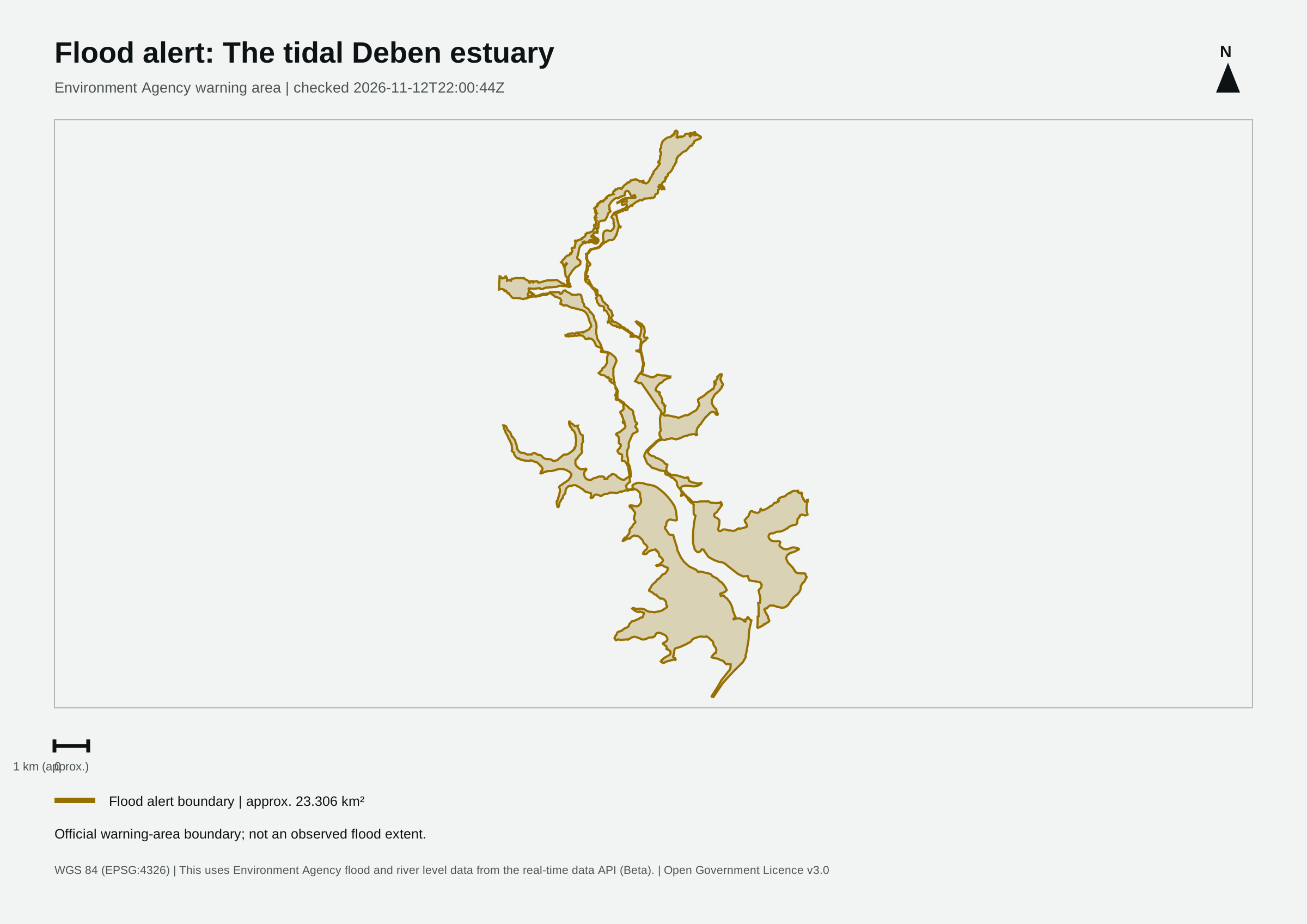
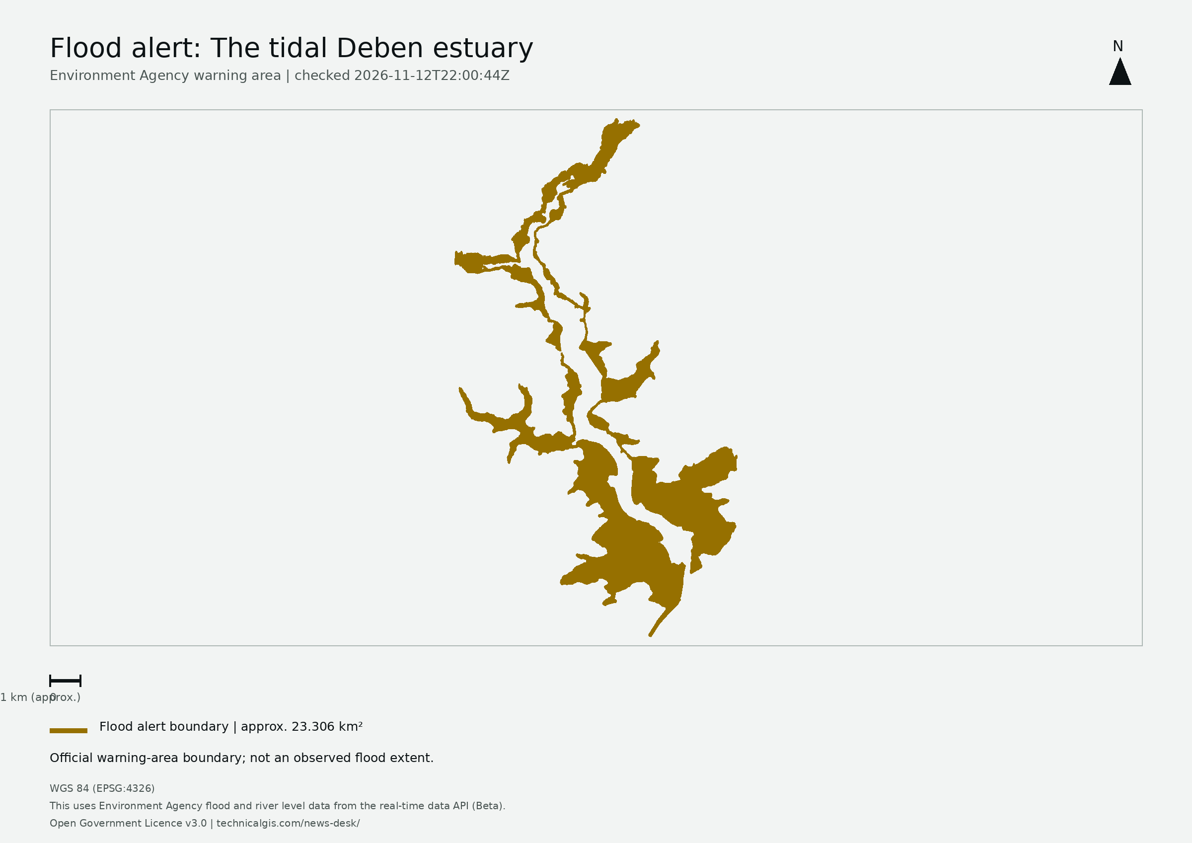
Map meaning: The area is an approximation of the official warning-area boundary, not a measurement of flooded land, people affected or damage.
High tides this evening may lead to flooding.
Flooding is possible from 00:30am to 2:30am on Friday 13 November.
Tide levels will be high around the boat yard in Felixstowe Ferry hamlet at the end of Ferry Road, and along riverside areas in Woodbridge and Waldringfield, as well as in surrounding marshland. The detailed forecast is for a peak level at Harwich of 2.55mAODN at 1:30am on Friday 13 November, which is 0.70m above tide tables, Wind Force 6, north westerly. No further high tides are expected over the coming days.
We are closely monitoring the situation .
Avoid coastal roads, footpaths and carparks, which may be flooded.
This message will be updated by 10:00AM on Friday 13 November or as the situation changes.
This uses Environment Agency flood and river level data from the real-time data API (Beta). Data documentation · Open Government Licence v3.0
This first monitoring area follows the Environment Agency feed in England. Wales, Scotland and Northern Ireland are not covered by this feed.
Revision 1 (2026-11-12T22:10:37Z) · Revision 3 (2026-11-13T12:15:50Z)