#Building footprints

4 posts

Tutorial Python

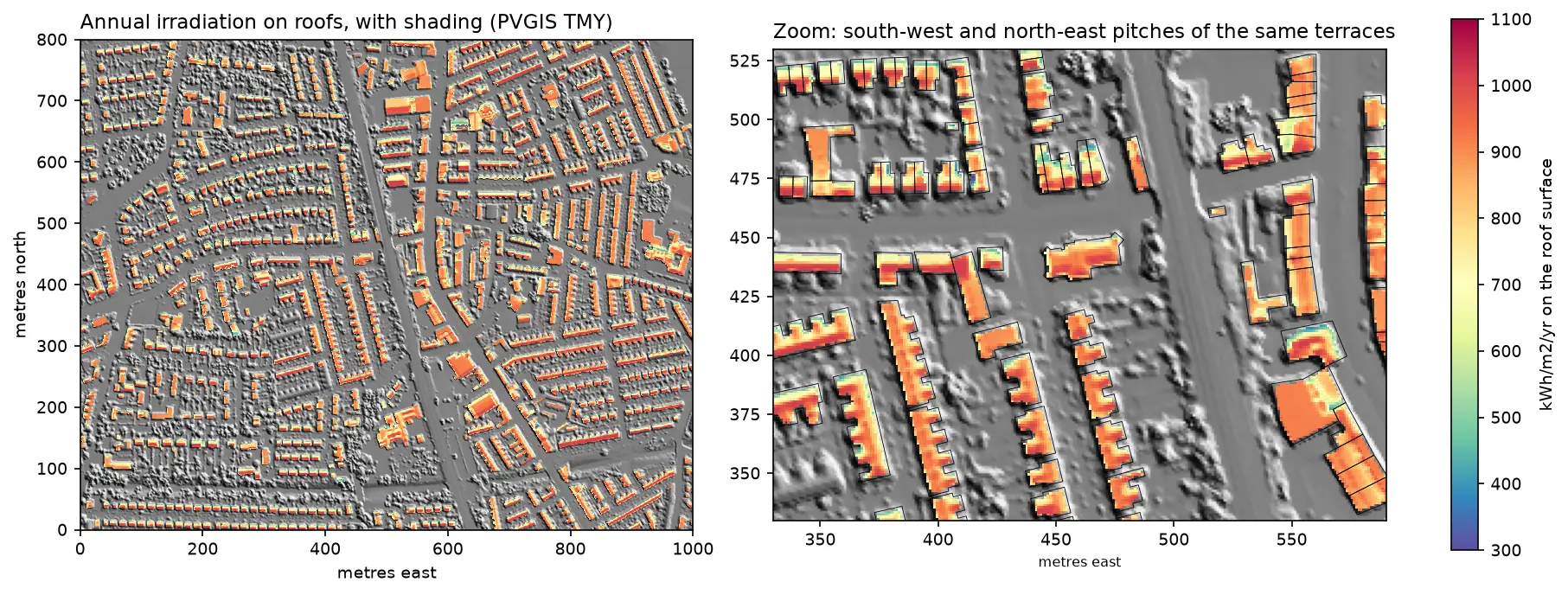
Rooftop solar potential from LiDAR in Python: pvlib, PVGIS and shading for every roof

Estimate rooftop solar potential in Python for 2,148 buildings in Manchester: take a 1 m Environment Agency LiDAR DSM and Overture Maps footprints, compute roof slope and aspect, trace horizon angles for shading from neighbours and trees, build a sun map from a PVGIS typical year with pvlib, check it against pvlib's Perez model and PVGIS, then estimate kWp and kWh per year per roof and rank the best roofs.
Advanced 14 min read

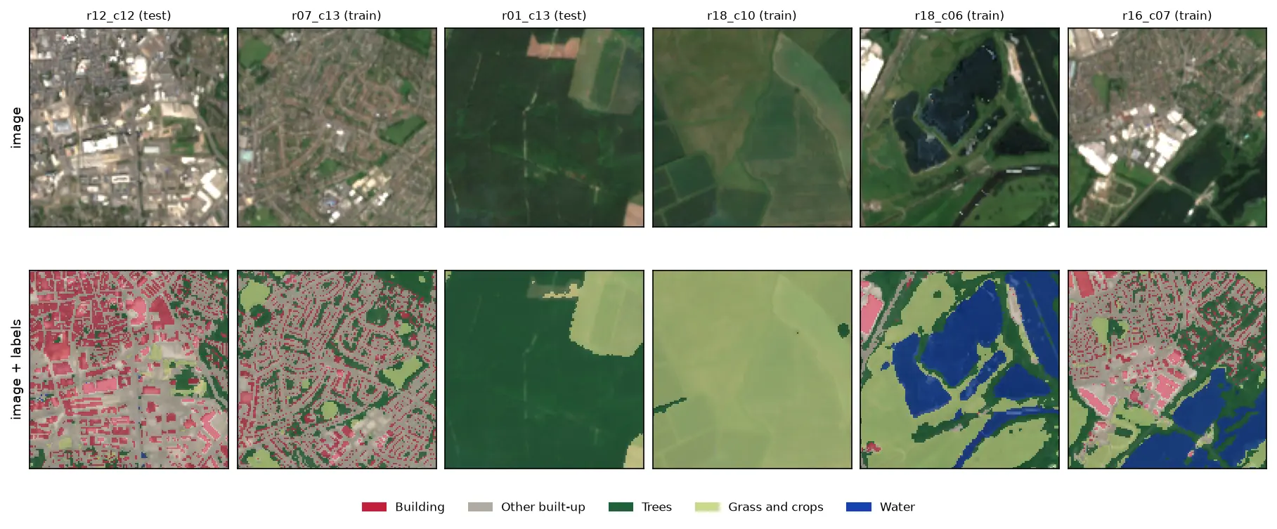
Six 128 by 128 pixel Sentinel-2 image chips of Nottingham, each shown above the same chip with its label mask overlaid: a city centre with red buildings and grey streets, a suburb, a forest, farmland, flooded gravel pits in blue and an industrial estate.

Tutorial Python Part 1 of 3

Training data for deep learning on satellite imagery: Sentinel-2 image chips in Python

Build a labelled deep learning dataset from free data: stream a Sentinel-2 L2A composite from the Planetary Computer, rasterise Overture building footprints over ESA WorldCover, cut georeferenced image chips, split them by spatial block so the test set does not leak, check the class balance and load it all as a TorchGeo dataset.

Intermediate 13 min read

Tutorial Python

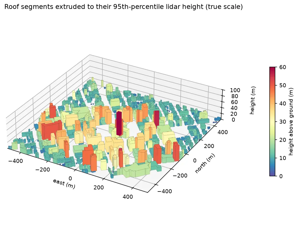
Extract building footprints and heights from LiDAR in Python (USGS 3DEP, downtown Madison)

Turn classified LiDAR into building footprints with heights in Python: stream USGS 3DEP COPC tiles, build a DTM and a building nDSM from ASPRS class 6 points, polygonise and regularise the mask, split roofs at height steps, compute height statistics per building, score the result against OpenStreetMap with IoU, and export a GeoPackage and a 3D view.

Intermediate 15 min read

Tutorial Python

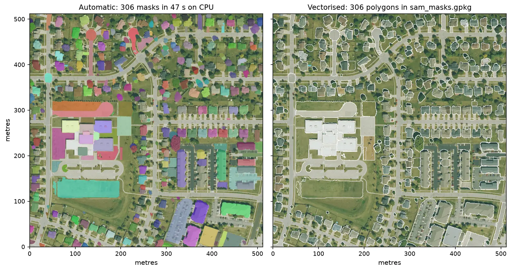
Segment Anything on satellite and aerial imagery in Python: a samgeo tutorial

Run Meta's Segment Anything Model on high-resolution aerial imagery with segment-geospatial (samgeo), on a CPU. Generate masks automatically, vectorise them to a GeoPackage, filter them by area, shape and NDVI to find buildings, and prompt SAM with points and boxes, checked against OpenStreetMap.

Intermediate 14 min read