#Climate

2 posts

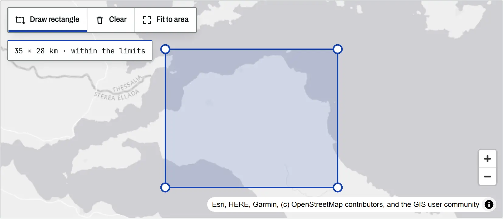
The climate tool map with a rectangle drawn over north Evia, Greece, its corner handles visible and a readout of 35 by 28 km within the limits

Article Remote Sensing

Climate time-series tools: charts and time-lapses for any place

An introduction to the TechnicalGIS climate time-series tools: five open datasets, how to draw an area on the map, worked examples from London, north Evia, Nairobi and Las Vegas, the processing limits and the terms for reusing every output.
Beginner 8 min read

Tutorial Python

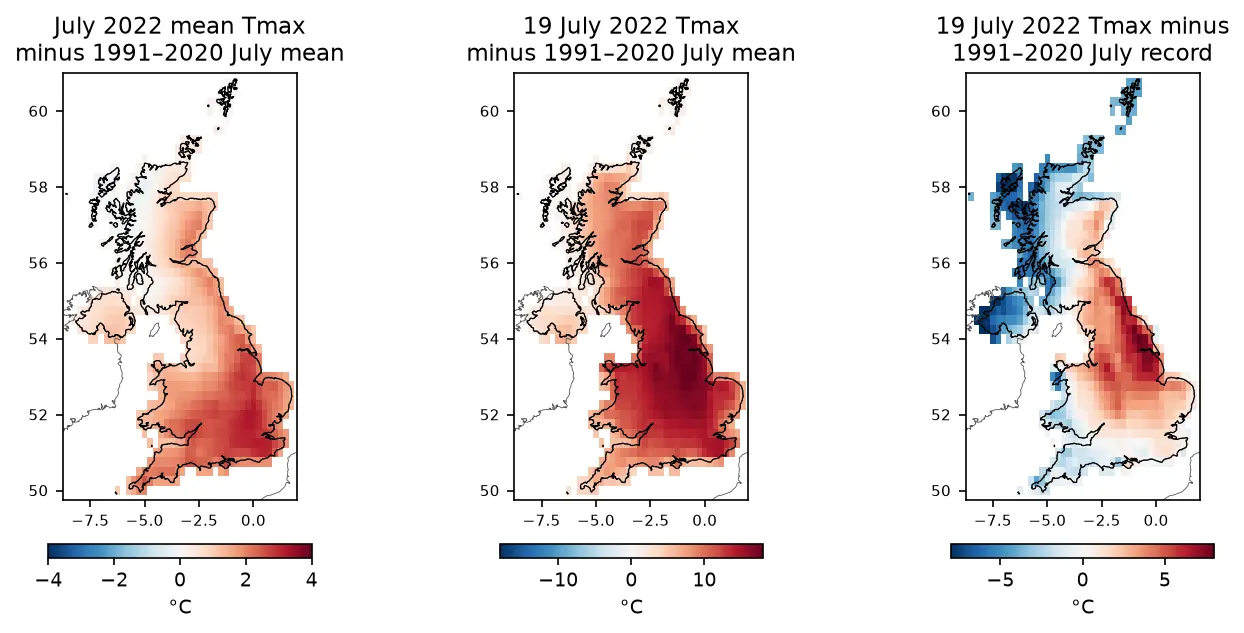
ERA5 in Python with xarray: mapping the July 2022 UK heatwave

Read ERA5 climate reanalysis in Python with xarray from free, login-free cloud Zarr stores, clip it to the UK, compute area-weighted means and anomalies against 1991–2020, export a Cloud Optimised GeoTIFF and check it against Met Office stations.

Intermediate 13 min read