#Cloud-native

4 posts

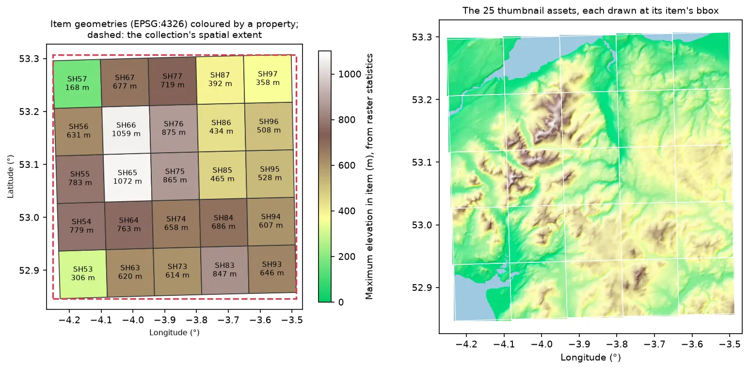
Two maps of Eryri in longitude and latitude. Left: 25 slightly rotated STAC item footprints labelled SH53 to SH97 and coloured by maximum elevation, inside a dashed red collection extent. Right: the 25 hillshaded thumbnail assets drawn at their item bounding boxes, forming one relief map

Tutorial Python Part 2 of 2

Build a STAC catalogue in Python with pystac, rio-stac and pystac-client

Turn 25 Cloud Optimised GeoTIFFs of Eryri into a static STAC catalogue with pystac and rio-stac, validate it against the JSON schemas, query it, serve it as static files, and compare it with the Earth Search and Planetary Computer STAC APIs through pystac-client.
Intermediate 12 min read

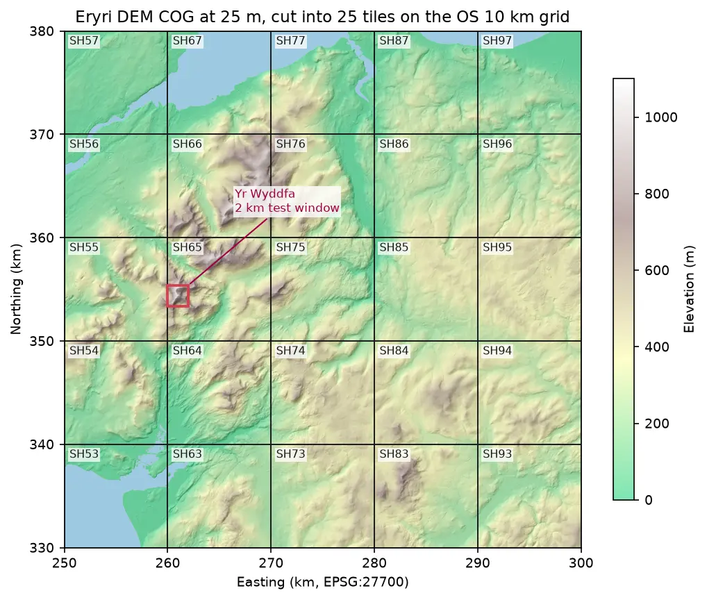
Hillshaded elevation map of Eryri at 25 m in British National Grid, coloured from green lowland to white summits, divided into 25 labelled 10 km squares from SH53 to SH97, with a red 2 km box marking the Yr Wyddfa test window

Tutorial Python Part 1 of 2

Cloud Optimised GeoTIFFs in Python: reproject, mosaic and validate a COG

Mosaic four Copernicus DEM GLO-30 tiles straight from AWS with rasterio, reproject them to British National Grid, write a validated Cloud Optimised GeoTIFF with rio-cogeo, and measure exactly how many bytes HTTP range requests fetch.

Intermediate 12 min read

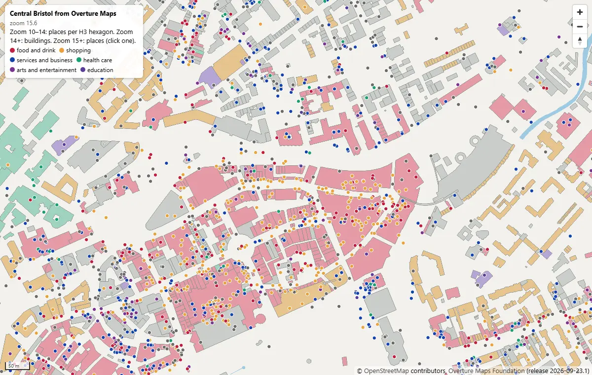
MapLibre GL JS map of central Bristol at zoom 15.6, with Overture building footprints coloured by subtype and places as coloured dots by category, around Broadmead and Cabot Circus

Tutorial Python Part 2 of 2

PMTiles vector tiles in Python and a MapLibre GL JS web map

Turn Overture Maps GeoParquet into PMTiles vector tiles with the GDAL that ships in pyogrio, no Tippecanoe needed, measure the zoom-level and size trade-offs, and serve an interactive MapLibre GL JS map of Bristol from static hosting.

Intermediate 12 min read

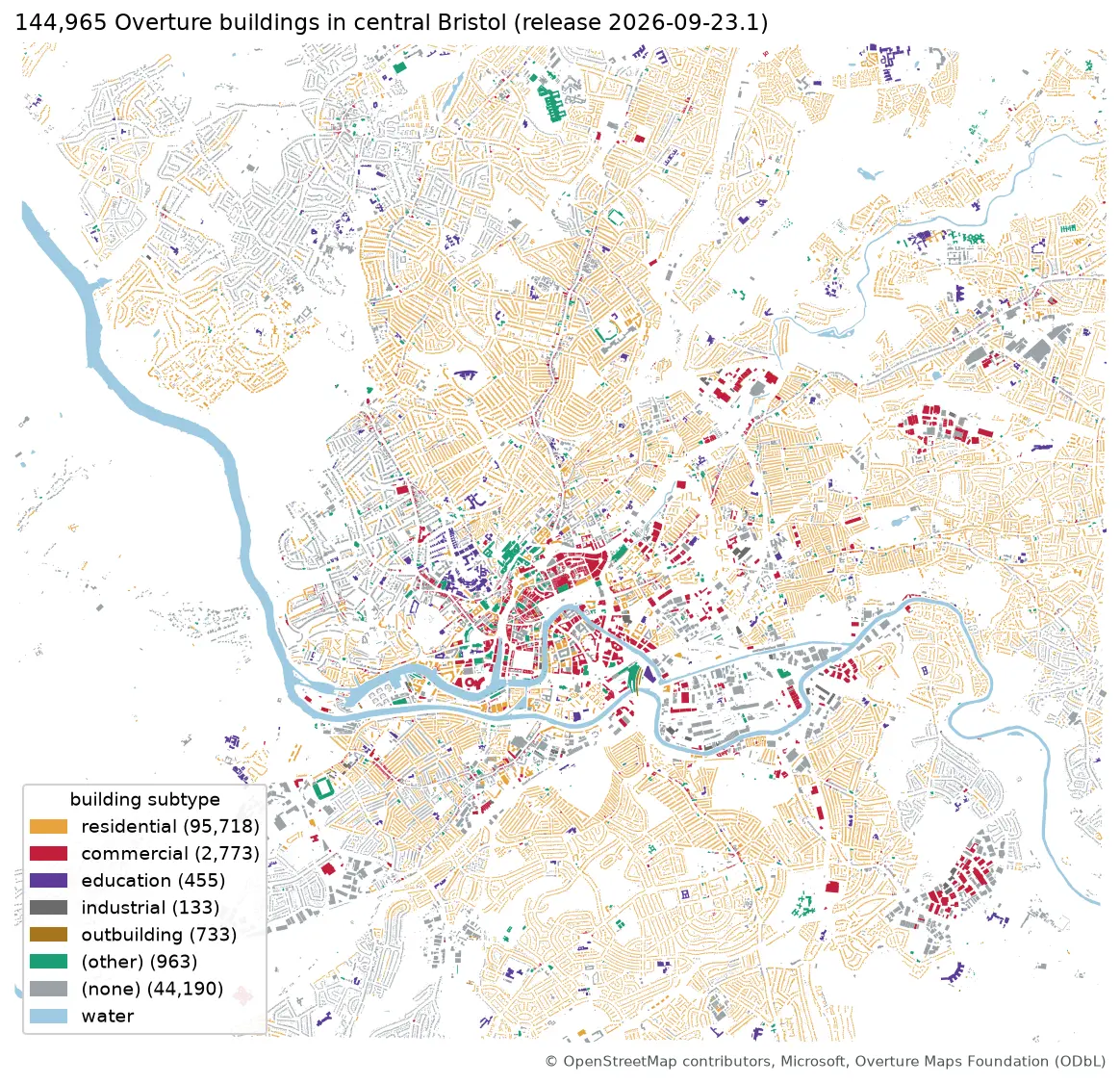
Map of central Bristol with 144,965 Overture building footprints coloured by subtype, most of them residential, and the River Avon in blue

Tutorial Python Part 1 of 2

Query Overture Maps with DuckDB spatial and GeoParquet in Python

Pull Bristol's 144,965 buildings and 20,727 places straight from the Overture Maps GeoParquet release with DuckDB, run spatial SQL joins and H3 aggregation, load the result into GeoPandas, write GeoParquet 1.1, and time it against Shapefile, GeoPackage and FlatGeobuf.

Intermediate 13 min read