#Cloud Optimised GeoTIFF

5 posts

Tutorial Python

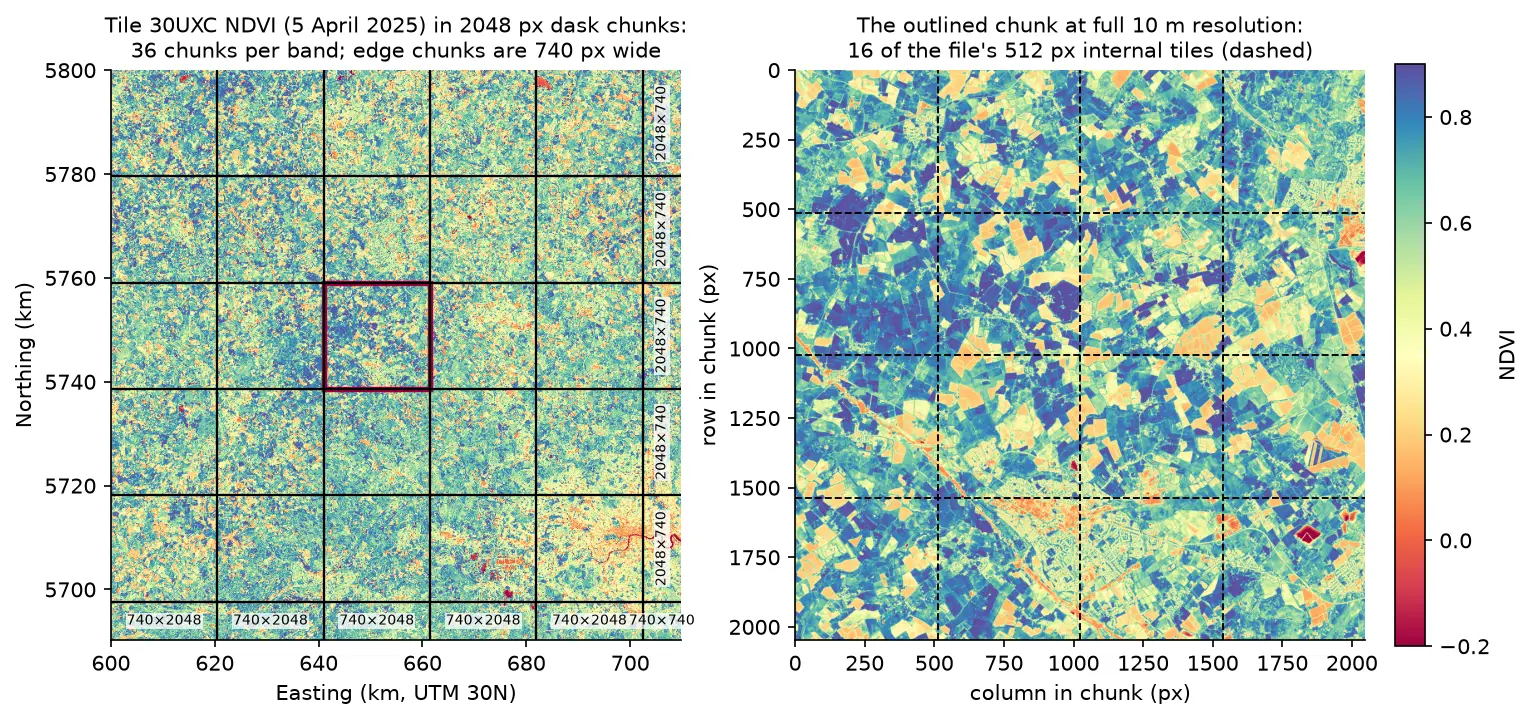
Parallel raster processing in Python with dask and rioxarray: a whole Sentinel-2 tile without running out of memory

Process large satellite rasters in Python with dask and rioxarray. Open eight full Sentinel-2 scenes lazily, choose a chunk size, inspect the task graph, watch CPU and memory with dask diagnostics, compare peak memory with eager NumPy, time chunk sizes and thread counts, and write a median NDVI GeoTIFF to disk chunk by chunk.
Intermediate 17 min read

Tutorial Python

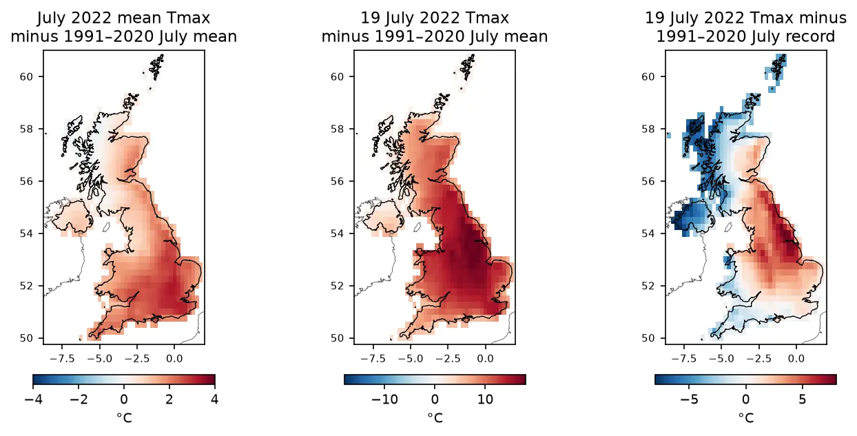
ERA5 in Python with xarray: mapping the July 2022 UK heatwave

Read ERA5 climate reanalysis in Python with xarray from free, login-free cloud Zarr stores, clip it to the UK, compute area-weighted means and anomalies against 1991–2020, export a Cloud Optimised GeoTIFF and check it against Met Office stations.

Intermediate 13 min read

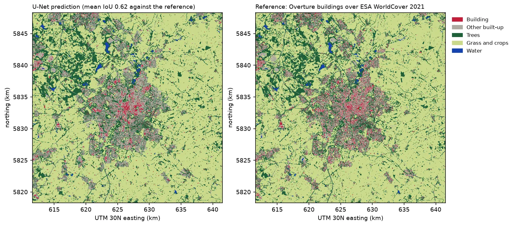
Two land cover maps of a 30 km square around Leicester side by side: the U-Net prediction on the left and the reference labels on the right. Both show the city in grey and red in the centre, surrounded by farmland in pale green, woods in dark green and reservoirs in blue. The prediction's city is smoother, with fewer separate red buildings.

Tutorial Python Part 3 of 3

Deep learning inference on large rasters: sliding-window prediction, COGs and polygons in Python

Run a trained PyTorch U-Net over a whole Sentinel-2 scene of a city it has never seen: tiled sliding-window inference on a large GeoTIFF with overlapping, blended windows, a georeferenced Cloud Optimised GeoTIFF of classes and confidence, raster-to-vector polygons with rasterio.features.shapes in a GeoPackage, and an honest check against reference labels.

Advanced 13 min read