#Copernicus

3 posts

Tutorial Python

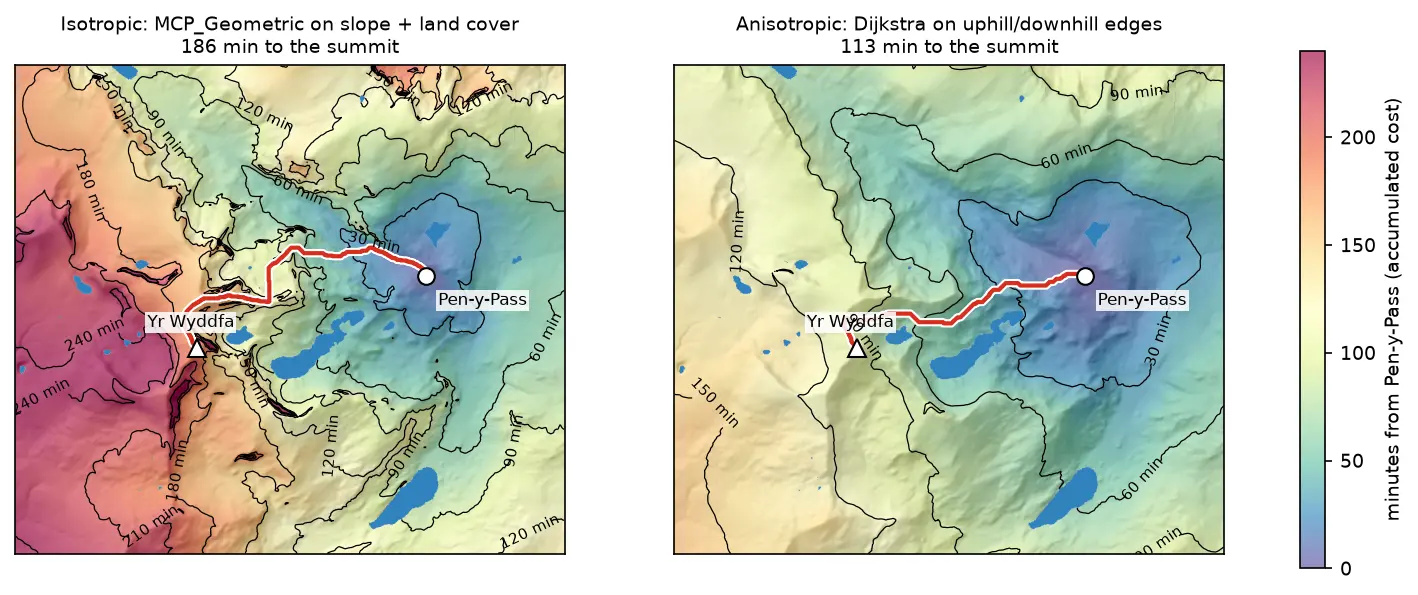
Least-cost path analysis in Python: cost surfaces and walking routes up Yr Wyddfa

Build a walking cost surface from real slope (Copernicus GLO-30) and land cover (ESA WorldCover), compute the accumulated cost surface and the least-cost path with scikit-image's MCP_Geometric, add a direction-aware Dijkstra version with SciPy, and compare the routes with the straight line and the OpenStreetMap footpaths from Pen-y-Pass to the summit of Yr Wyddfa (Snowdon).
Intermediate 14 min read

Tutorial Python

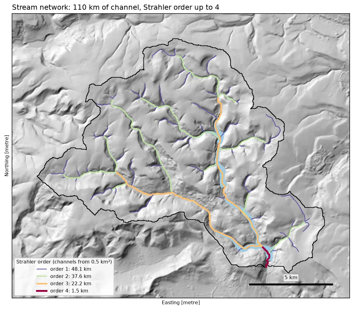
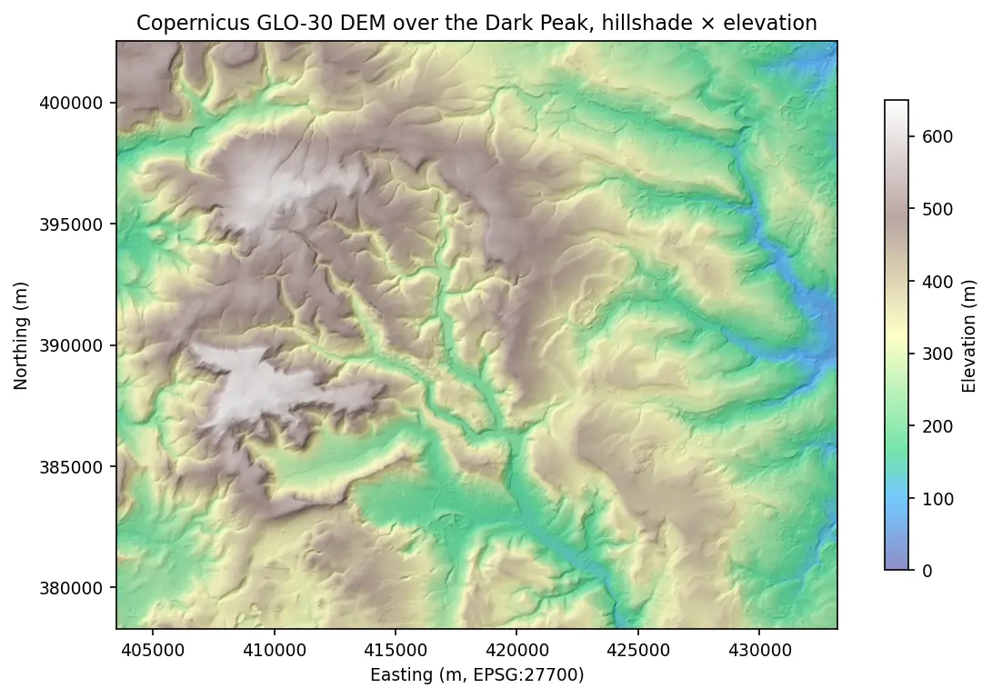
Watershed delineation in Python with pysheds: the River Derwent above Ladybower

Delineate a catchment and its stream network from a free DEM in Python with pysheds: fill pits and depressions, D8 flow direction, flow accumulation, snapping the pour point, catchment polygon and area, Strahler stream order and drainage density, all checked against the official NRFA boundary for the River Derwent at Yorkshire Bridge in the Peak District.

Intermediate 13 min read