#DTM

3 posts

Tutorial Python

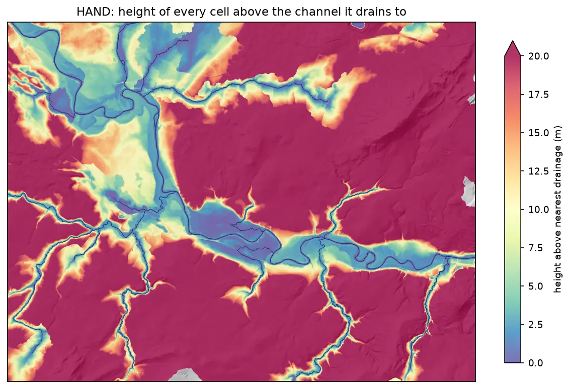
Height above nearest drainage (HAND) flood mapping in Python: the River Severn

Compute height above nearest drainage (HAND) from the Environment Agency LIDAR DTM at 5 m with pysheds, turn it into inundation extents for a range of stage heights on the River Severn between Shrewsbury and Buildwas, relate them to the Buildwas gauge, and score them honestly against the Environment Agency Flood Map for Planning with the hit rate, false-alarm ratio and critical success index.
Intermediate 13 min read

Tutorial Python

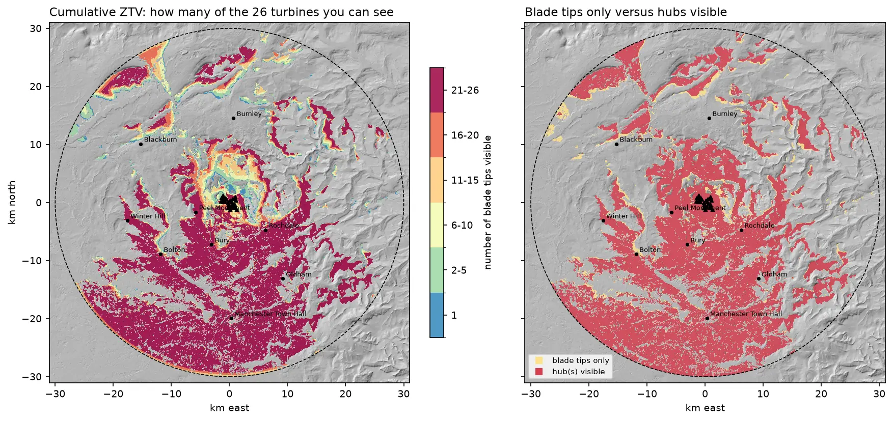
Viewshed analysis in Python: line of sight and a wind farm ZTV with GDAL and numpy

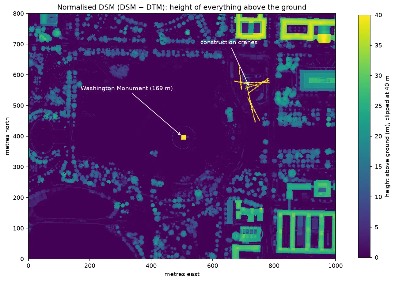
Run a viewshed analysis in Python on a real DEM: compute what one wind turbine can see with gdal.ViewshedGenerate, rebuild the same line-of-sight algorithm in numpy, correct for earth curvature and refraction, build a cumulative zone of theoretical visibility (ZTV) from 26 turbines, draw line-of-sight profiles, and measure how much trees and buildings in a LiDAR DSM shrink a bare-earth viewshed.

Intermediate 16 min read