#Hydrology

3 posts

Tutorial Python

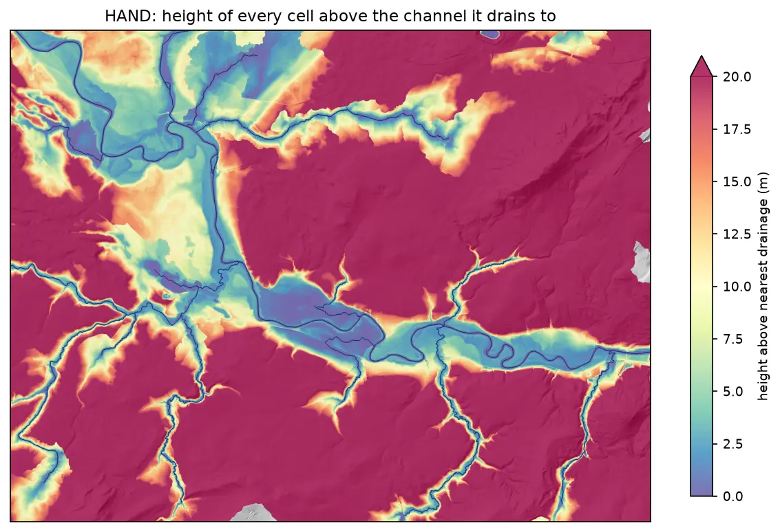
Height above nearest drainage (HAND) flood mapping in Python: the River Severn

Compute height above nearest drainage (HAND) from the Environment Agency LIDAR DTM at 5 m with pysheds, turn it into inundation extents for a range of stage heights on the River Severn between Shrewsbury and Buildwas, relate them to the Buildwas gauge, and score them honestly against the Environment Agency Flood Map for Planning with the hit rate, false-alarm ratio and critical success index.
Intermediate 13 min read

Tutorial Python

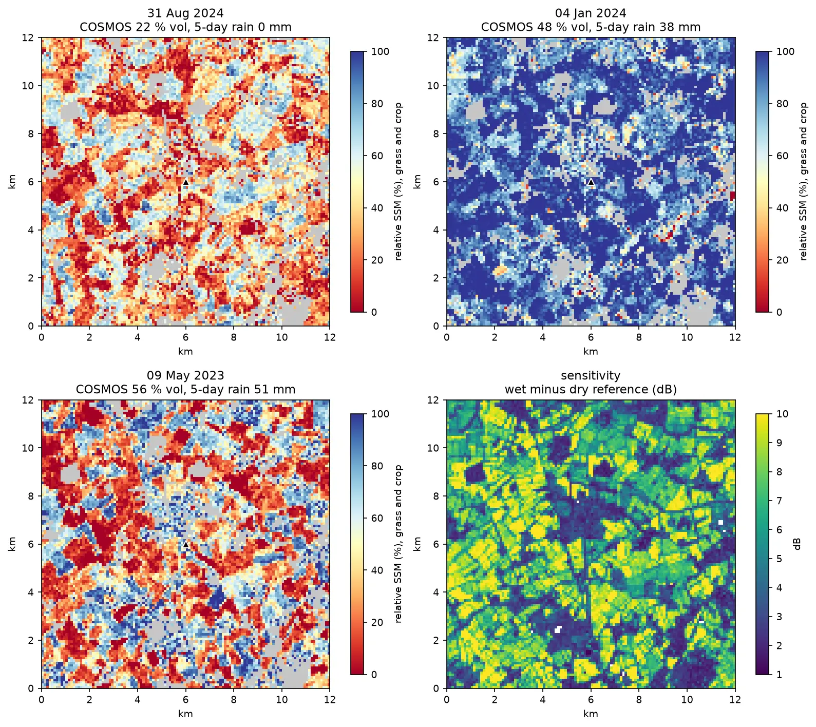
Sentinel-1 soil moisture in Python: change detection checked against COSMOS-UK

Estimate surface soil moisture from free Sentinel-1 radar in Python with the TU Wien change-detection method. Build dry and wet references per orbit, map relative soil moisture at 100 m, and test it honestly against four COSMOS-UK stations and their rain gauges.

Intermediate 13 min read

Tutorial Python

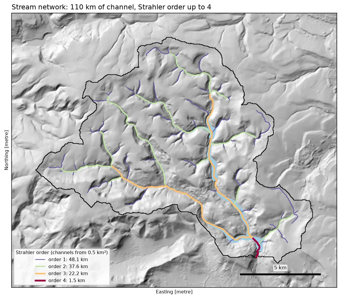
Watershed delineation in Python with pysheds: the River Derwent above Ladybower

Delineate a catchment and its stream network from a free DEM in Python with pysheds: fill pits and depressions, D8 flow direction, flow accumulation, snapping the pour point, catchment polygon and area, Strahler stream order and drainage density, all checked against the official NRFA boundary for the River Derwent at Yorkshire Bridge in the Peak District.

Intermediate 13 min read