#London

4 posts

Tutorial Python Part 2 of 2

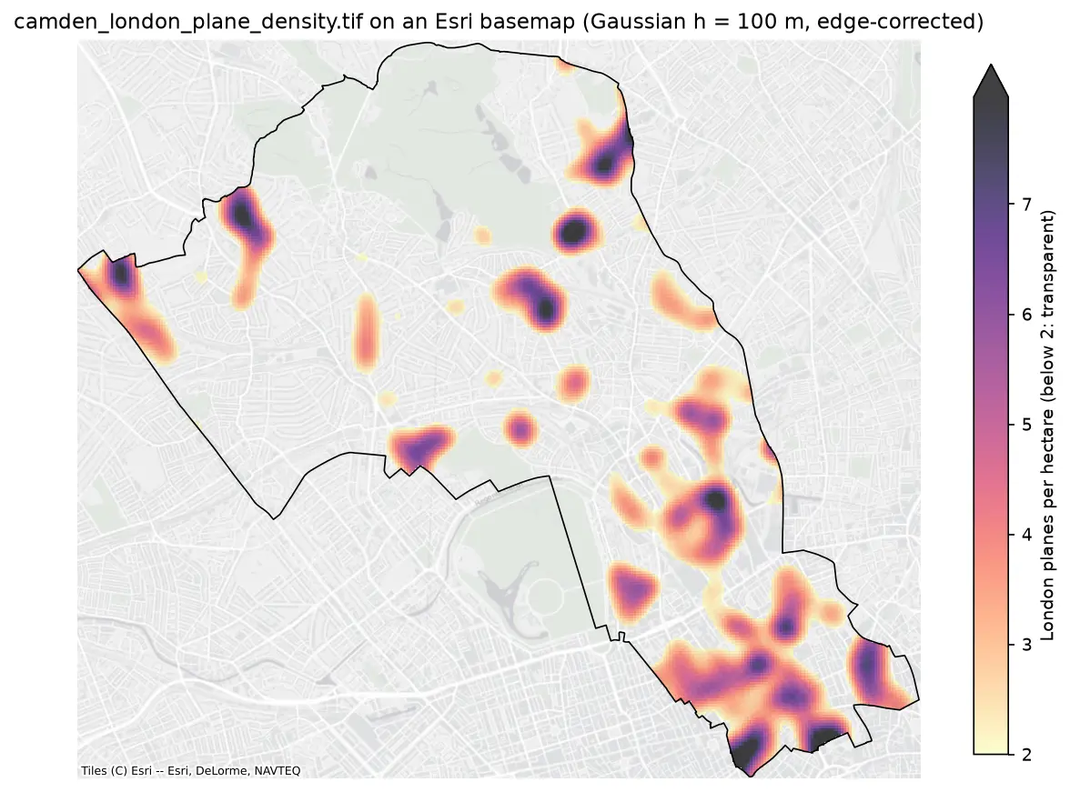
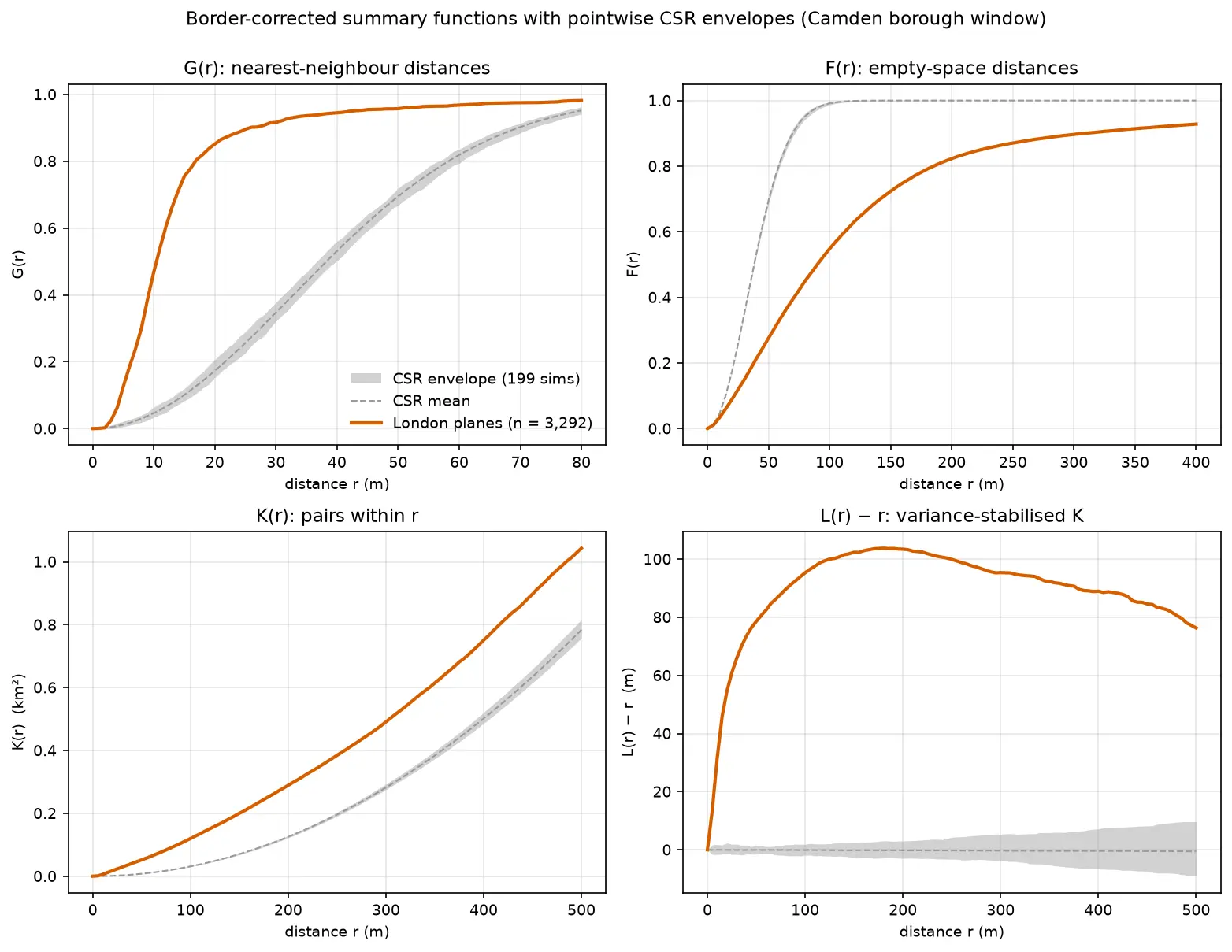
Kernel density estimation in Python for GIS: bandwidths, GeoTIFF heatmaps and relative risk

Make a kernel density heatmap from points in Python: compare Scott/Silverman, likelihood cross-validation and a fixed planning distance, Gaussian and Epanechnikov kernels and sample weights, export an edge-corrected GeoTIFF with rasterio, show it on a basemap, and map case-control relative risk on Camden's London plane trees.
Intermediate 16 min read

Tutorial Python

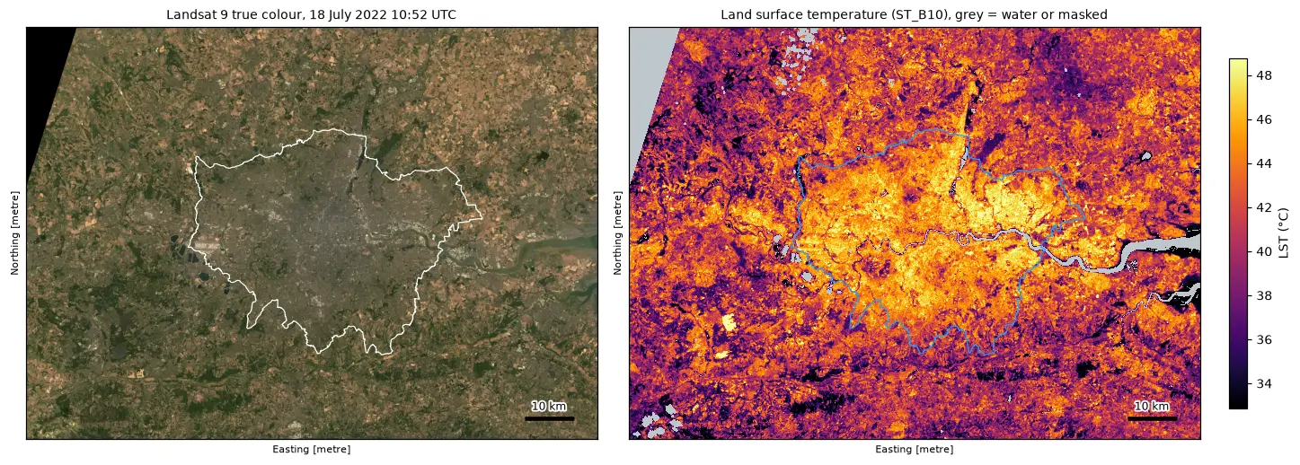
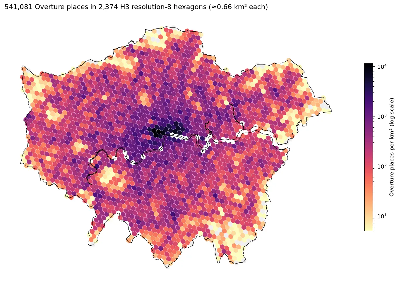
Land surface temperature from Landsat in Python: mapping London's urban heat island

Calculate land surface temperature from Landsat 8 and 9 Collection 2 Level-2 data in Python: ST_B10 scale and offset, QA_PIXEL cloud masking, LST by land cover and NDVI, an urban-rural transect, hotspots with OpenStreetMap and an honest comparison with air temperature, for London in the July 2022 heatwave.

Intermediate 17 min read