#PySAL

7 posts

Tutorial Python

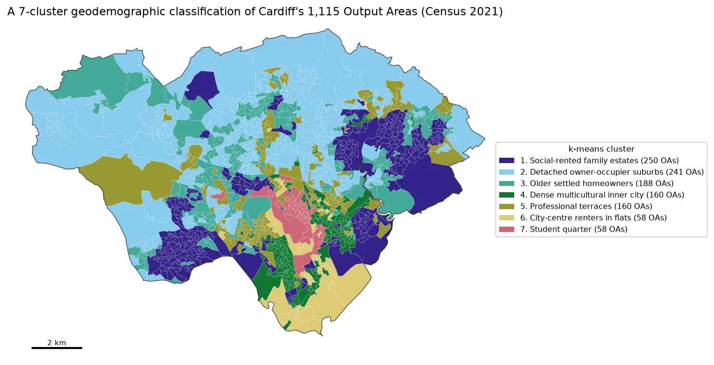
Geodemographic classification in Python: k-means on Census 2021 Output Areas, and SKATER and max-p regionalisation

Build a small geodemographic classification of Cardiff's 1,115 Census 2021 Output Areas in Python: choose and transform variables from Nomis bulk tables, standardise them, check correlations, choose k for k-means with the elbow, silhouette and stability across seeds, profile and cautiously name the clusters with index scores and radar charts, compare the result with the official 2021/2 OAC, test the MAUP at LSOA level, and contrast it with contiguous regions from spopt's SKATER and max-p.
Intermediate 17 min read

Tutorial Spatial Analysis Part 2 of 2

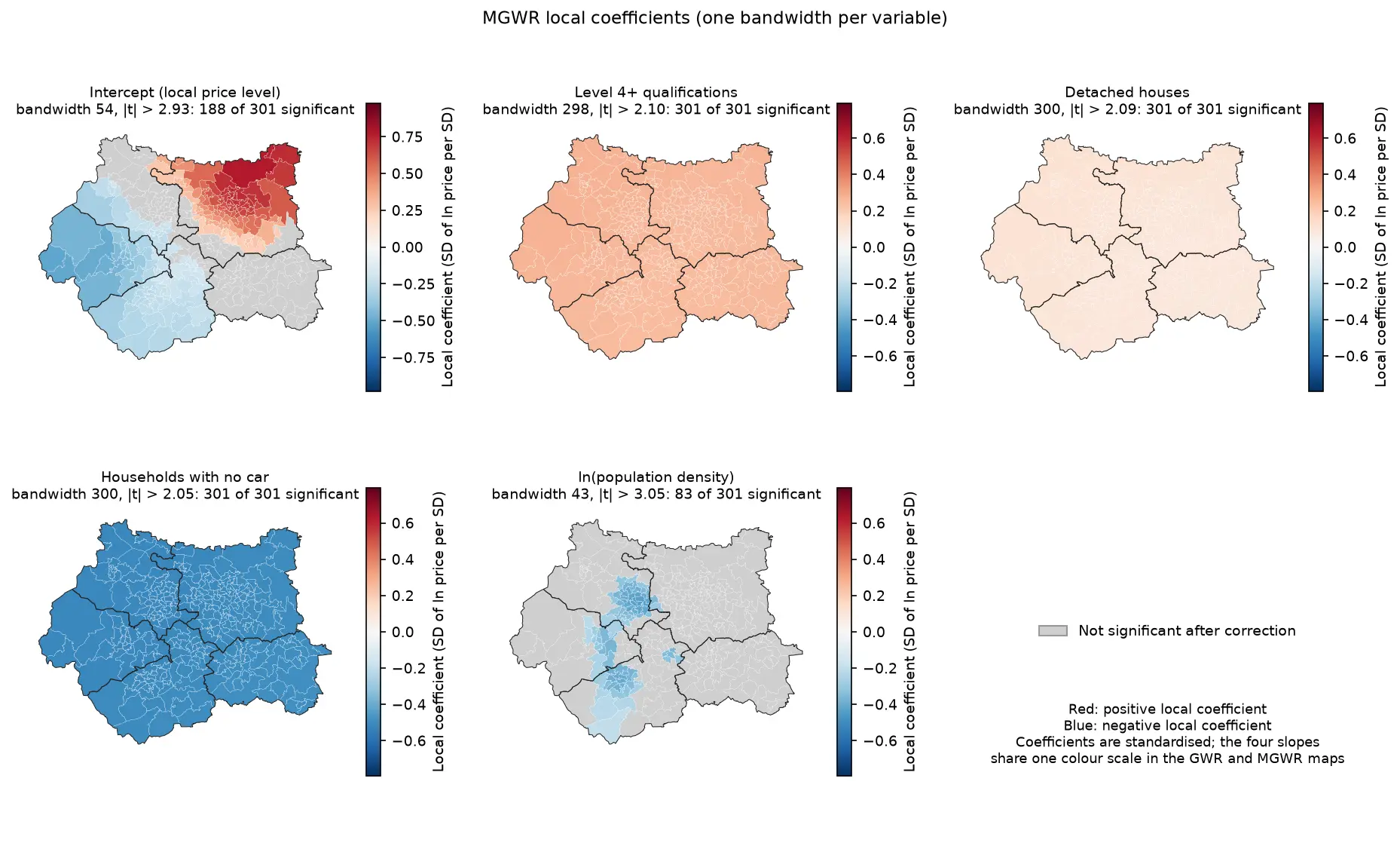
Geographically weighted regression in Python: GWR and MGWR with mgwr

Fit geographically weighted regression (GWR) and multiscale GWR (MGWR) in Python with the mgwr package on real West Yorkshire house prices: choose the bandwidth by AICc, map local coefficients with a multiple-testing correction, read local R² and local collinearity, and compare against global OLS, spatial lag and spatial error models.

Advanced 17 min read

Tutorial Python Part 2 of 2

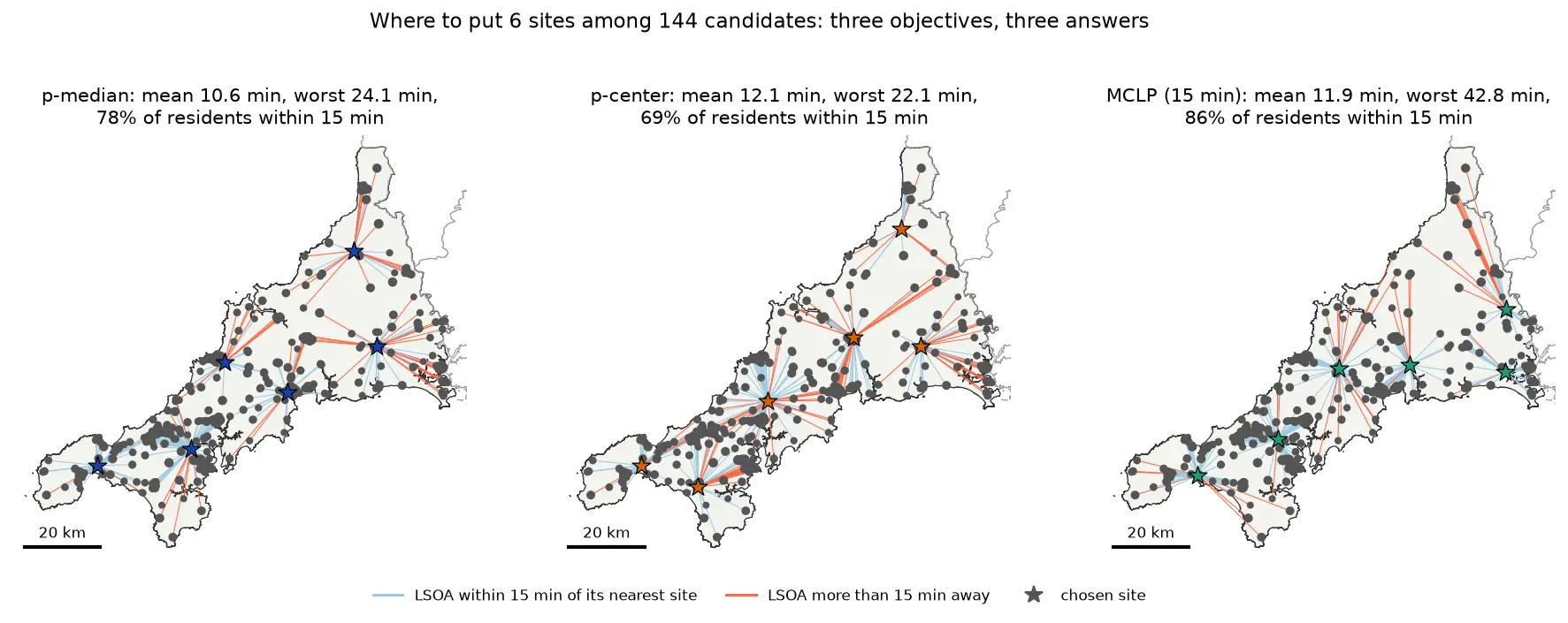
Location-allocation in Python: p-median, p-center and maximal covering (MCLP) with spopt

Solve location-allocation problems in Python with spopt and the CBC solver: the p-median, p-center and maximal covering location problem (MCLP). Choose sites for new urgent-care or mobile clinic bases among Cornwall's community buildings, on OSMnx drive times and Census 2021 population, compare the three answers on maps and charts, draw the trade-off curve as the number of sites grows, and see how problem size drives solve time.

Intermediate 17 min read

Tutorial Python Part 1 of 2

Two-step floating catchment area (2SFCA) in Python: spatial access to GP practices in Cornwall

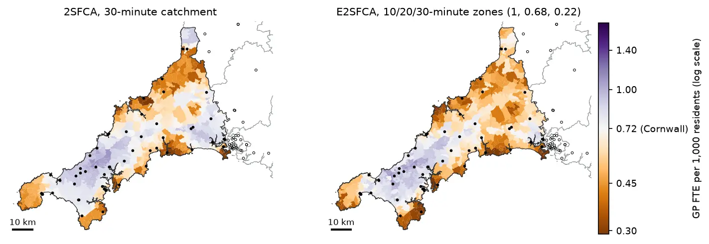
Measure spatial accessibility to GP practices in Python with the two-step floating catchment area (2SFCA) method and its distance-decay version (E2SFCA). Build OSMnx drive times for Cornwall from OpenStreetMap, use NHS GP workforce data and Census 2021 population, compare the PySAL access package with a vectorised NumPy version, and test the catchment threshold, the decay function and edge effects.

Intermediate 18 min read

Tutorial Spatial Analysis Part 1 of 2

Spatial regression in Python: OLS diagnostics, spatial lag and spatial error models with spreg

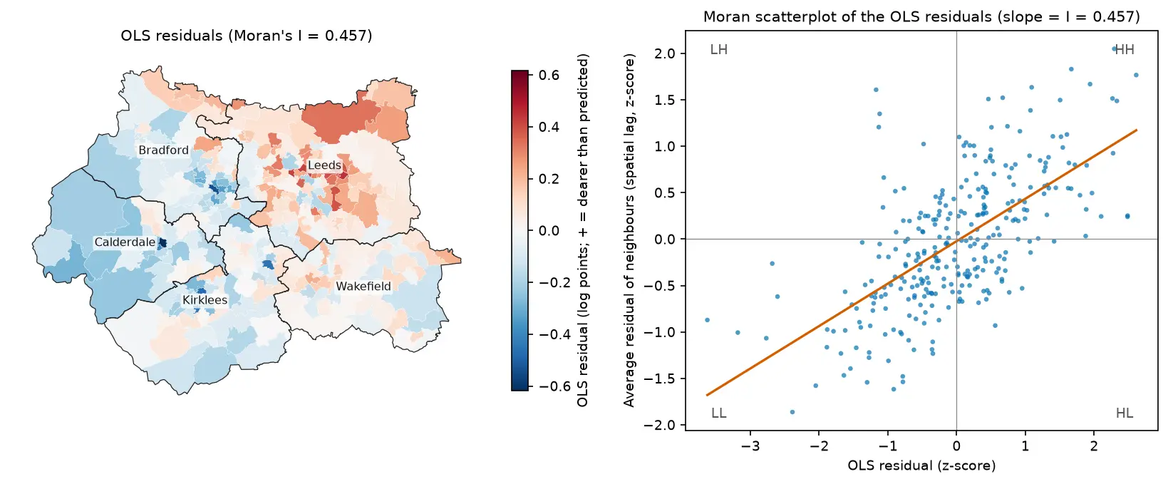
Fit spatial regression models in Python with PySAL's spreg on real West Yorkshire house prices: test the OLS residuals for spatial autocorrelation, read the Lagrange Multiplier diagnostics, fit spatial lag and spatial error models, compare them by AIC and log-likelihood, interpret direct, indirect and total impacts, and check how much the spatial weights matter.

Intermediate 18 min read

Tutorial Python

Hot spot analysis in Python: Getis-Ord Gi*, Moran's I and LISA on Birmingham road collisions

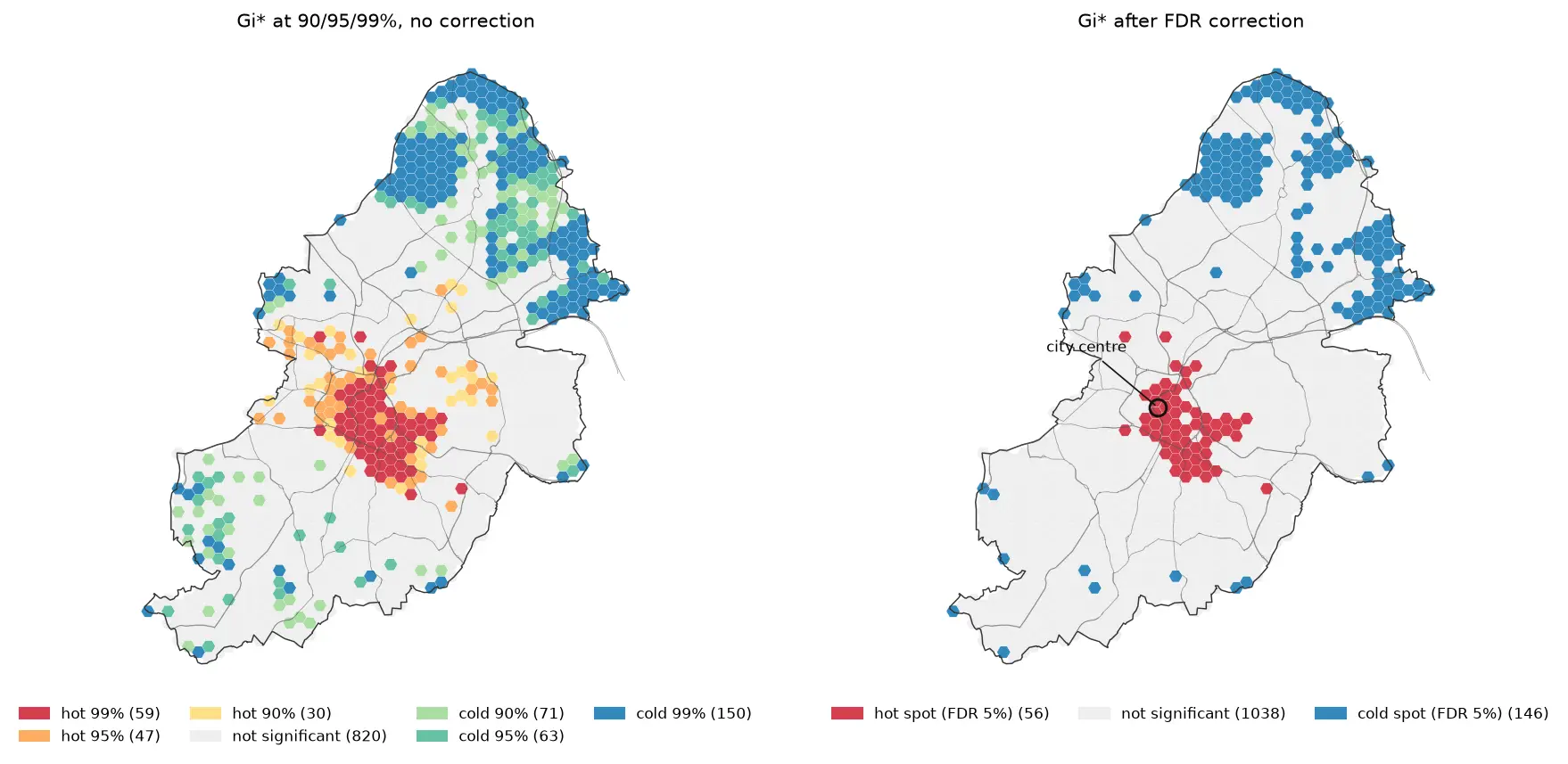
Run a hot spot analysis in Python with PySAL: aggregate 2025 STATS19 road collisions in Birmingham to a hexagon grid, test for clustering with global Moran's I, map Getis-Ord Gi* hot spots and LISA clusters with permutation inference and FDR correction, and see how spatial weights, the areal unit and exposure change the answer.

Intermediate 19 min read