#SAR

8 posts

Tutorial Python

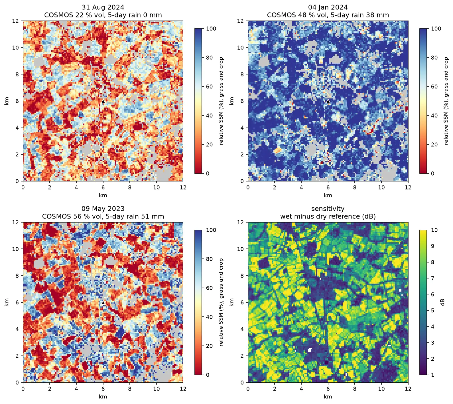
Sentinel-1 soil moisture in Python: change detection checked against COSMOS-UK

Estimate surface soil moisture from free Sentinel-1 radar in Python with the TU Wien change-detection method. Build dry and wet references per orbit, map relative soil moisture at 100 m, and test it honestly against four COSMOS-UK stations and their rain gauges.

Intermediate 13 min read

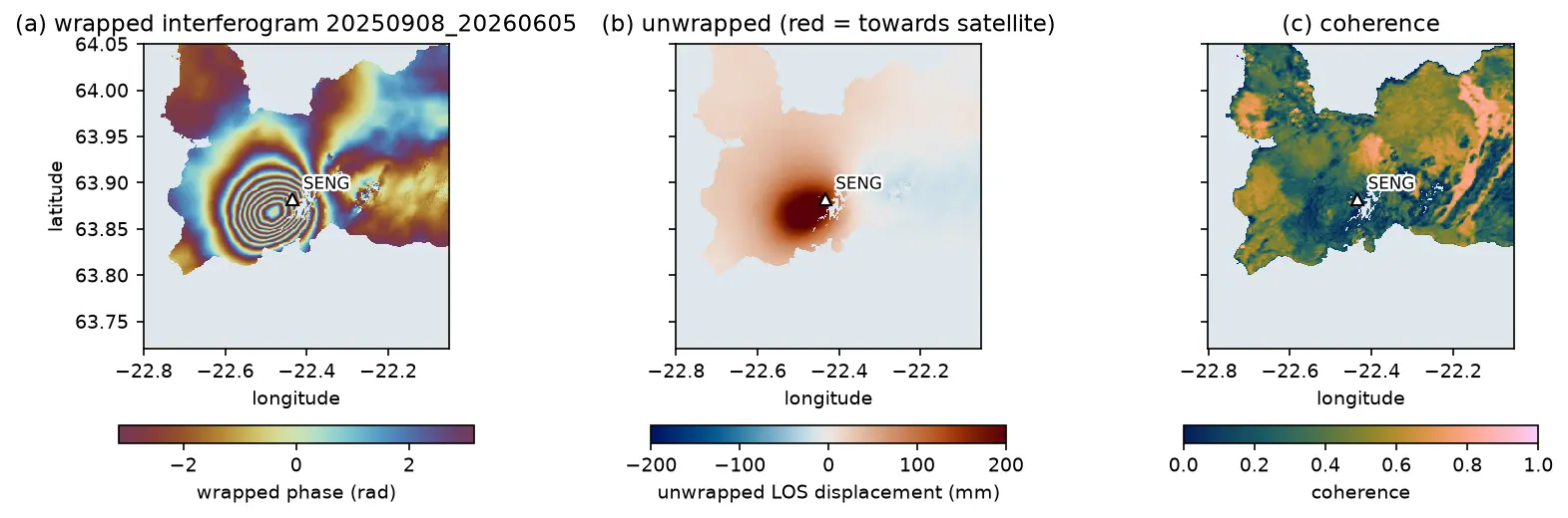
A Sentinel-1 interferogram of the Reykjanes Peninsula in Iceland with a bullseye of concentric colour fringes centred just west of the Svartsengi GNSS station, beside the unwrapped displacement and coherence maps.

Tutorial Python Part 1 of 3

InSAR volcano deformation in Python: mapping magma inflation at Svartsengi, Iceland, with Sentinel-1

Map volcano deformation with Sentinel-1 InSAR in Python: stream free COMET LiCSAR interferograms of the Svartsengi volcanic system in Iceland, read wrapped and unwrapped phase and coherence, count fringes, convert phase to line-of-sight millimetres, and combine ascending and descending tracks into vertical and east–west motion, checked against GNSS.

Advanced 19 min read

Tutorial Python

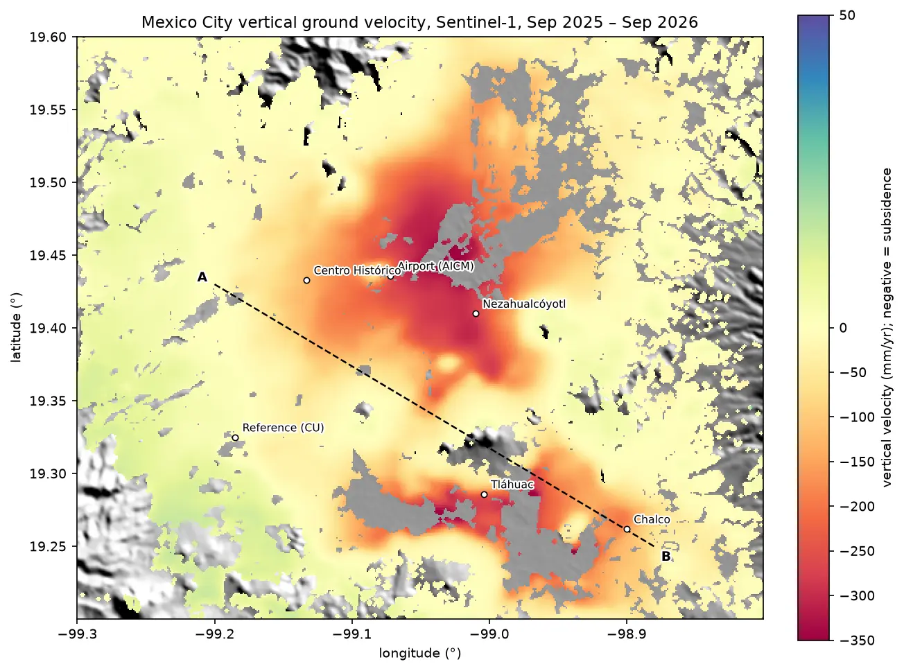
InSAR ground subsidence in Python: one year of Mexico City sinking, from Sentinel-1

Map ground subsidence with Sentinel-1 InSAR in Python: stream 170 real interferograms of Mexico City, convert unwrapped phase to millimetres of line-of-sight motion, mask low coherence, invert a small-baseline network into a time series, and cross-check the velocity with MintPy.

Advanced 17 min read

Tutorial Python

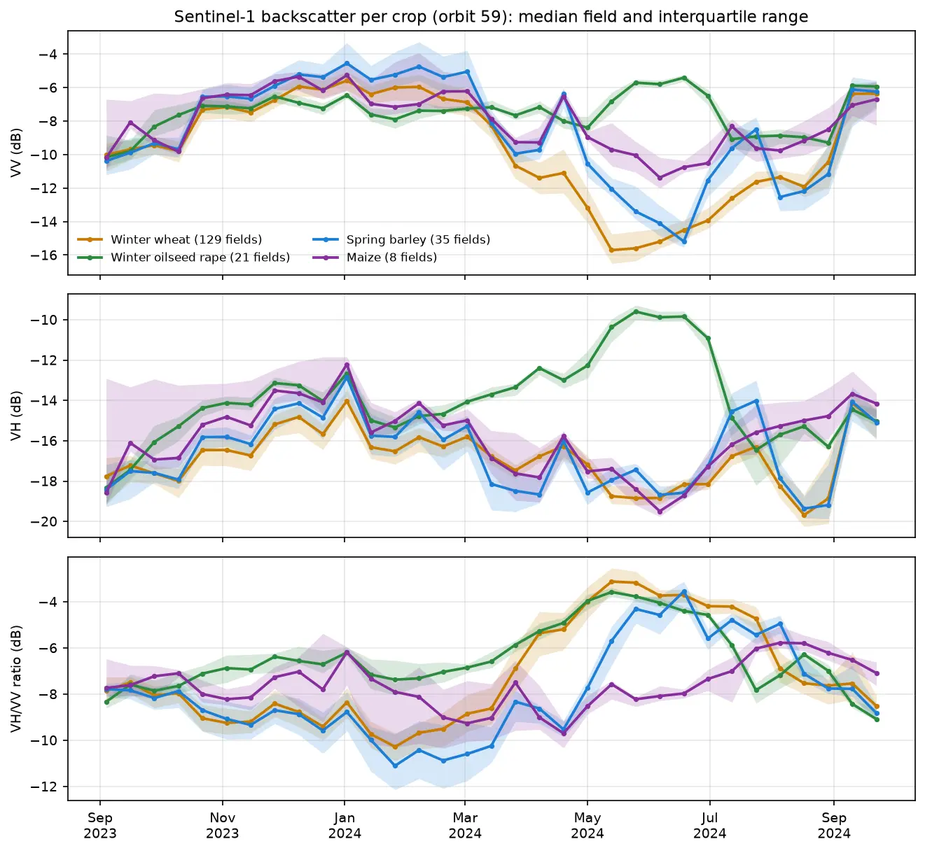
Sentinel-1 crop monitoring in Python: SAR time series for wheat and oilseed rape

Monitor crops through cloud with free Sentinel-1 radar. Build VV, VH and VH/VV ratio time series for 247 fields in Cambridgeshire, beat speckle by field-averaging, read the growth signatures of winter wheat and oilseed rape, and compare with the gaps that cloud leaves in Sentinel-2 NDVI.

Intermediate 16 min read

Tutorial Python

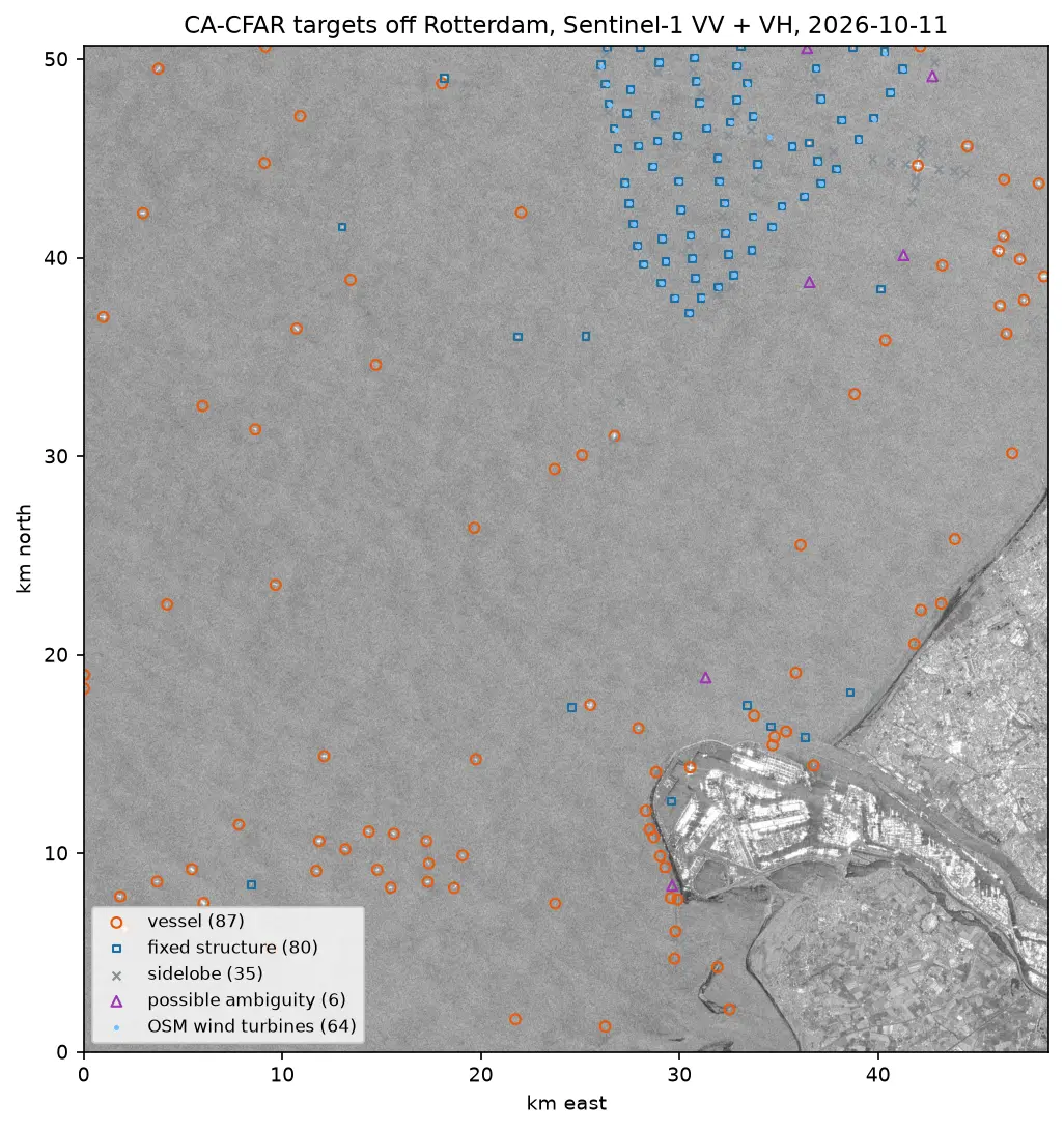
Sentinel-1 ship detection in Python: a CA-CFAR detector off the Port of Rotterdam

Detect ships in free Sentinel-1 SAR imagery with a cell-averaging CFAR detector written in NumPy and SciPy: mask the land, set a threshold from a speckle model, cluster detections into targets, reject wind turbines, sidelobes and ambiguities, compare VV with VH and export the vessels as GeoJSON.

Intermediate 16 min read

Tutorial Python

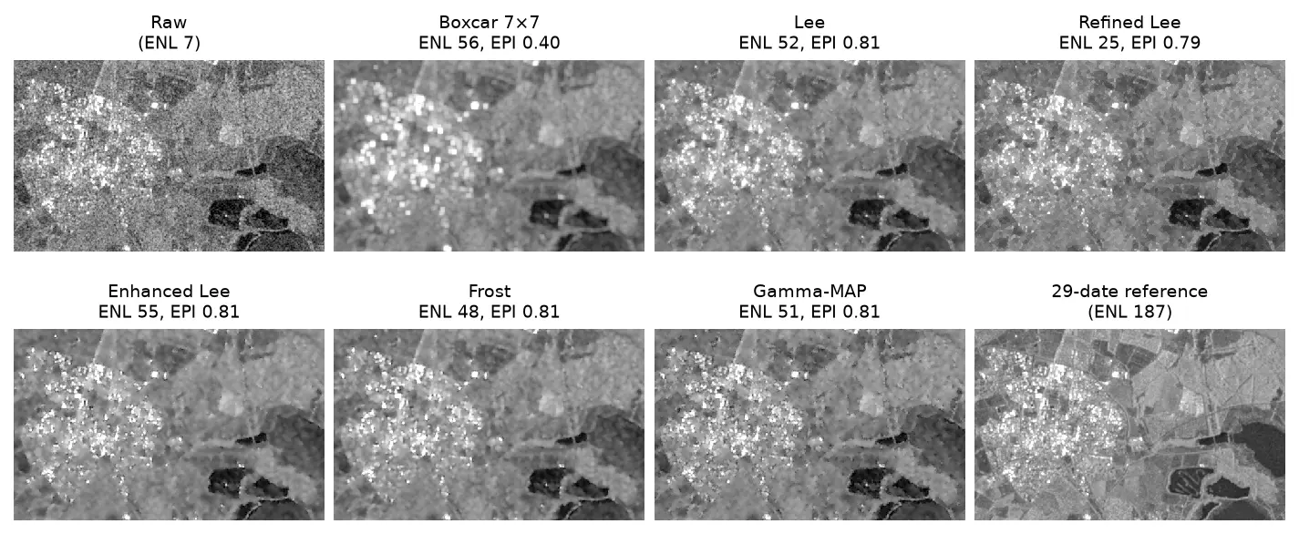
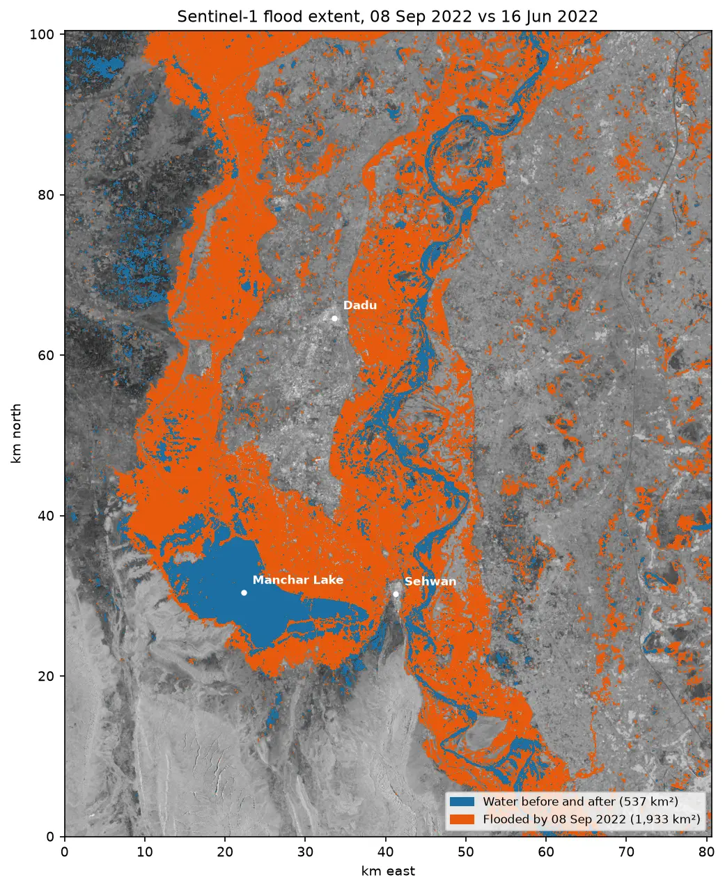
Sentinel-1 SAR flood mapping in Python: the 2022 Pakistan floods

Map the 2022 Sindh floods with free Sentinel-1 radar from the Microsoft Planetary Computer: convert backscatter to decibels, remove speckle with a Lee filter, pick a water threshold with Otsu's method, and measure the flood extent and how it receded over seven months.

Intermediate 10 min read