#SciPy

3 posts

Tutorial Python Part 2 of 2

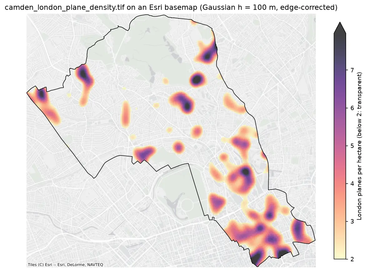
Kernel density estimation in Python for GIS: bandwidths, GeoTIFF heatmaps and relative risk

Make a kernel density heatmap from points in Python: compare Scott/Silverman, likelihood cross-validation and a fixed planning distance, Gaussian and Epanechnikov kernels and sample weights, export an edge-corrected GeoTIFF with rasterio, show it on a basemap, and map case-control relative risk on Camden's London plane trees.
Intermediate 16 min read

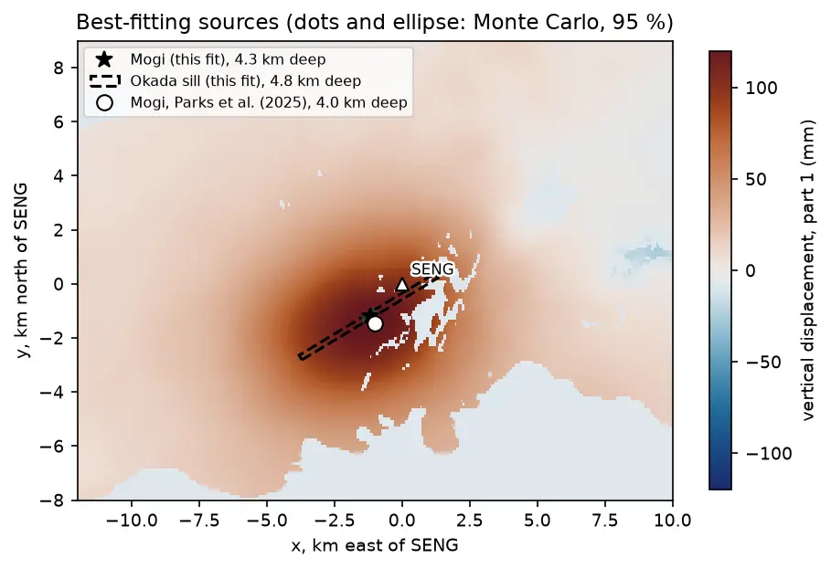
A map of vertical uplift at Svartsengi in Iceland with the best-fitting Mogi point source, an Okada sill outline and the published source location plotted near the centre of the uplift.

Tutorial Python Part 2 of 3

Mogi model inversion in Python: magma depth and volume from InSAR at Svartsengi, Iceland

Invert Sentinel-1 InSAR for a volcanic source in Python: write Mogi point-source and Okada (1985) sill forward models in NumPy, downsample ascending and descending LOS maps with a quadtree, fit depth and volume change by weighted least squares with scipy.optimize, and estimate uncertainties with a Monte Carlo of correlated noise, compared with published results.

Advanced 17 min read