#DEM

5 posts

Tutorial Python

Watershed delineation in Python with pysheds: the River Derwent above Ladybower

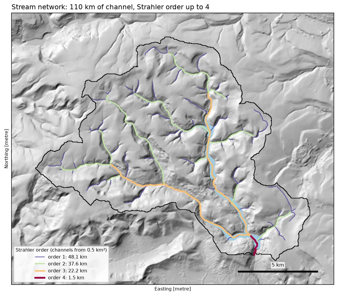
Delineate a catchment and its stream network from a free DEM in Python with pysheds: fill pits and depressions, D8 flow direction, flow accumulation, snapping the pour point, catchment polygon and area, Strahler stream order and drainage density, all checked against the official NRFA boundary for the River Derwent at Yorkshire Bridge in the Peak District.

Intermediate 13 min read

Tutorial Python Part 1 of 5

From DEM to 3D-printable STL with Python and NumPy

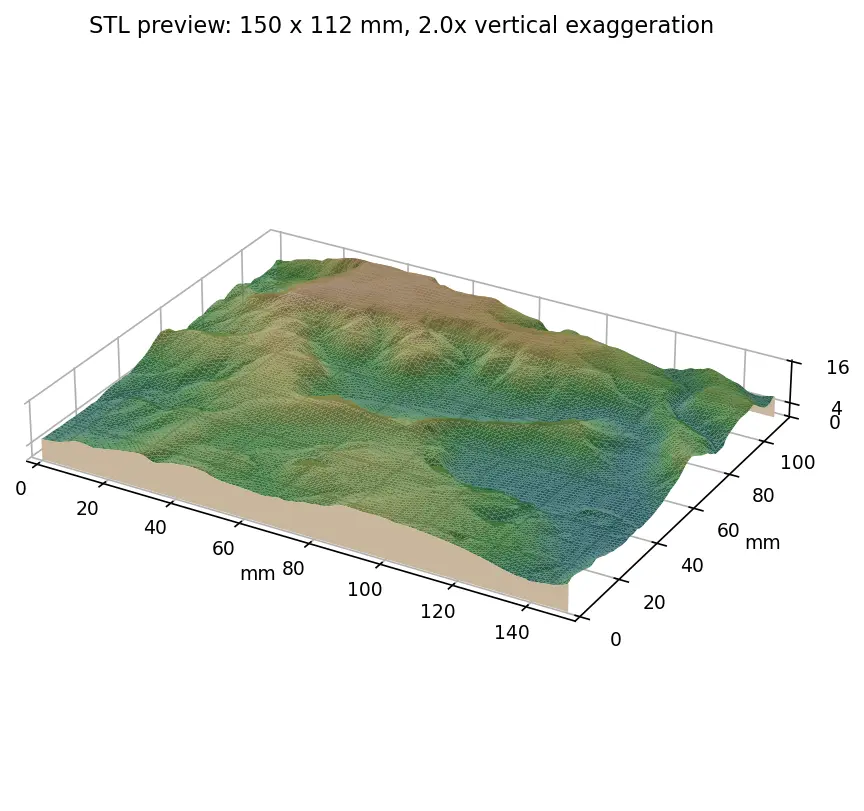
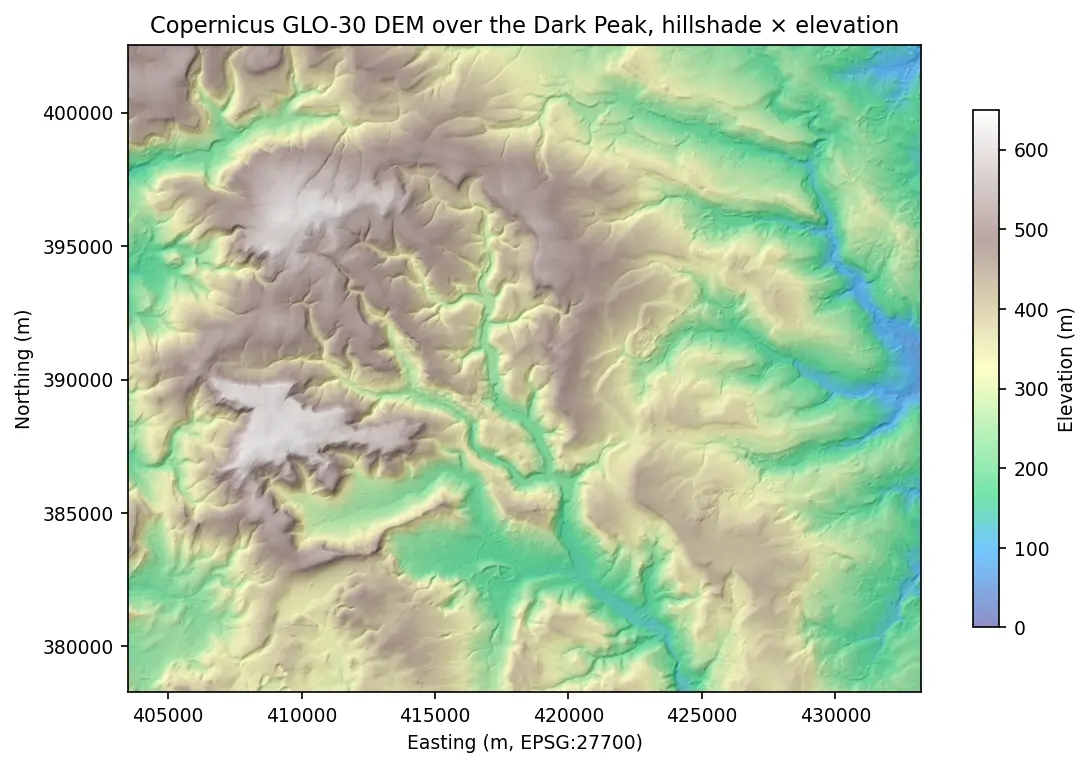
Stream a Copernicus 30 m DEM of the Edale valley, reproject it to British National Grid, scale it to a 150 mm print and write a watertight binary STL using only NumPy, with checks that prove the mesh is printable.

Intermediate 6 min read